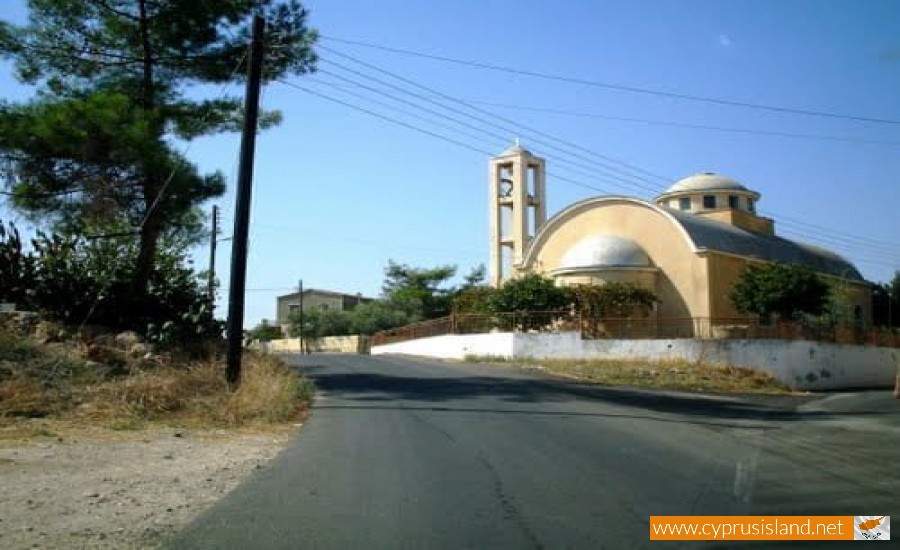
Gypsou is a community in the occupational district of Ammochostos, also known locally as “Sakkohori” as in the past, the residents dealt with the construction of wool sacks. It is located 22 kilometres northwest of Ammochostos in the geographical area of Mesaoria.

It seems that it took its name from a small mountain which is located a mile north of the village, the Gipsovouno. The population of the village in 1973 was estimated to be 1187 residents.

During the Turkish invasion, the community was taken over by the Turkish army, resulting in the evacuation of the village by its residents.

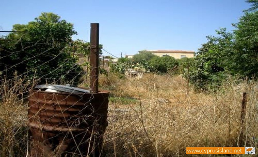
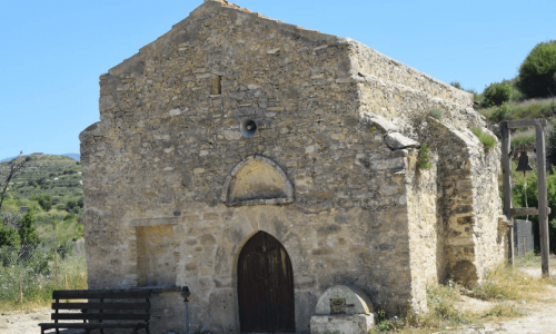
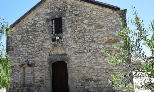
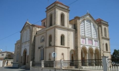
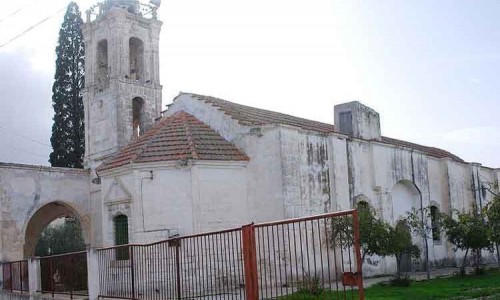
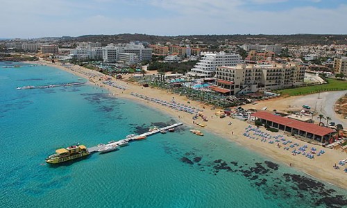
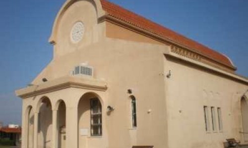
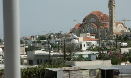
Gypsou Village photos: 
Gypsou Village location map: 

Nearby Places and things to do (within 5 km radius)

Konnoi - Agioi Anargyroi Nature trail

Location: Konnos Beach – Agioi Anargyroi Beach District:  Ammochostos Starting Point: Route 1: Konnos beach, between Prota...

Konnos Bay

Ayia Napa, a vibrant coastal town in Cyprus, is renowned for its stunning beaches and crystal-clear waters. Tucked away in this Mediterranea...

Sea Caves Nature Trail

 Location: Sea Caves District: Ammochostos Starting Point: Sea Caves. Access from the Ayia Napa – Cavo Greco road, near Cavo....

Cyclops Cave - Paralimni

The Cyclops cave is located in the southwest side of the Ammochostos district. The area is filled with historical points, unknown to mo...

Ayioi Anargyroi Church - Protaras

Perched gracefully near the coastline of Protaras, Ayioi Anargyroi Church stands as a beacon of faith, attracting both the devoted and those...

Agioi Anargyroi Picnic Site

The Agioi Anargyroi Picnic Site is located 8 kilometers from Agia Napa in the Ammochostos district  towards the SOMERA station, the fir...

Pages