Arminou Dam
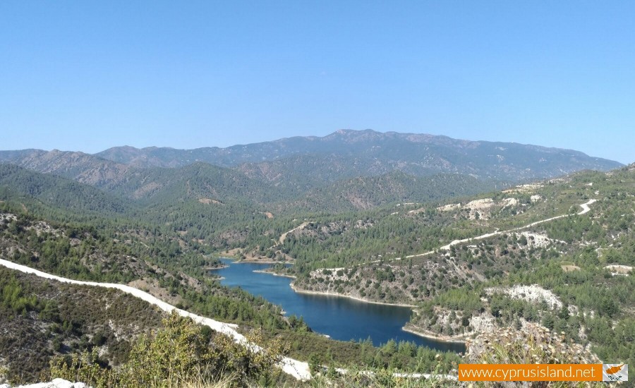
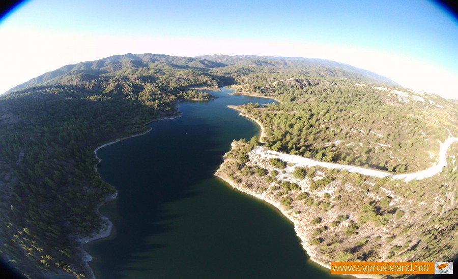
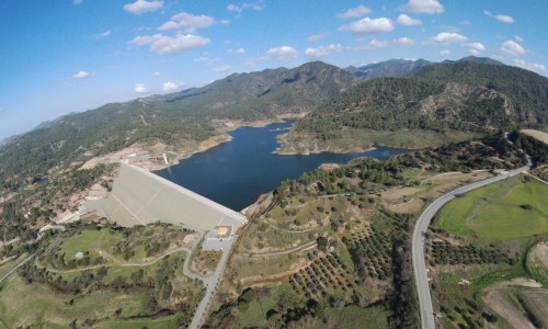
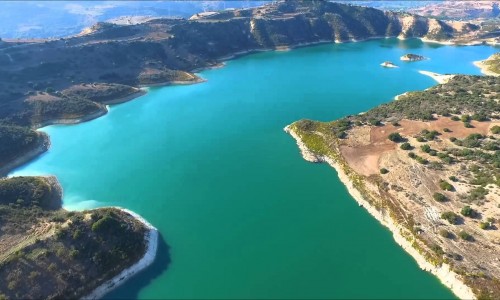
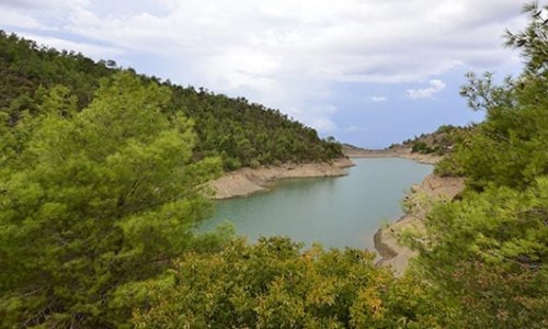
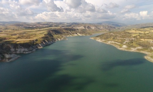
Hidden amid the rolling foothills where Troodos meets the Mesogi plain, Arminou Dam subtly changes the landscape from dry scrubland to serene beauty. Built to capture runoff from nearby hills and support local agriculture, it now cradles a tranquil reservoir edged by reeds, cypress groves, and the kind of quiet Cyprus vistas that make you breathe deeper.
A Reservoir That Grows from Nature
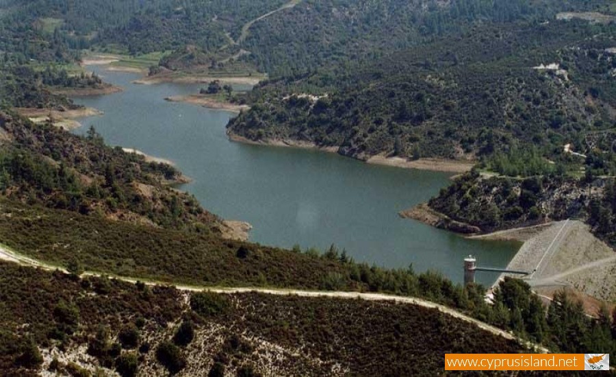
Though modest in scale, Arminou Dam blends beautifully into its surroundings. The rock-fill embankment is skirted by wildflowers in spring, mature oaks, and scattered conifers. Paths drift off in several directions—from a lookout platform that’s perfect for early morning photos, to trails through olive groves that wind along the water’s edge.
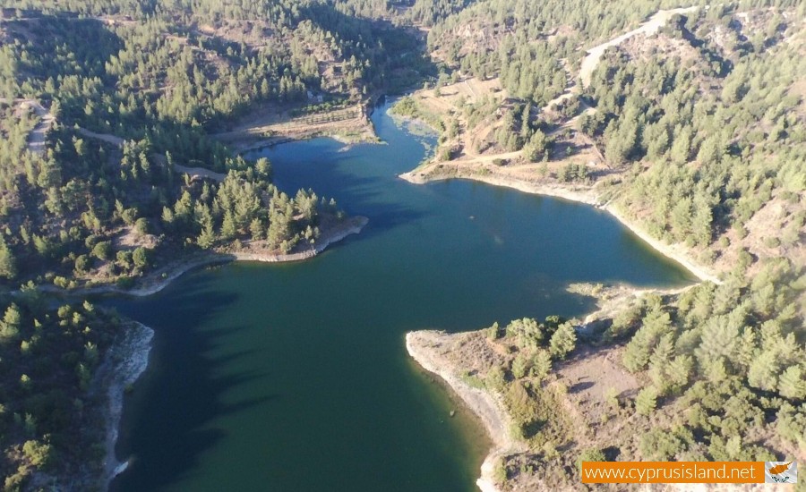
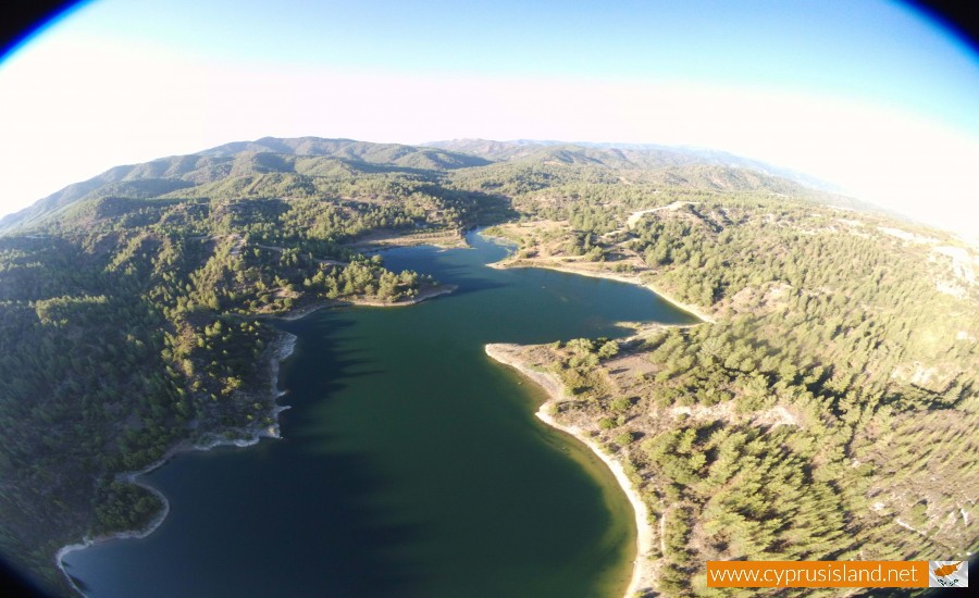
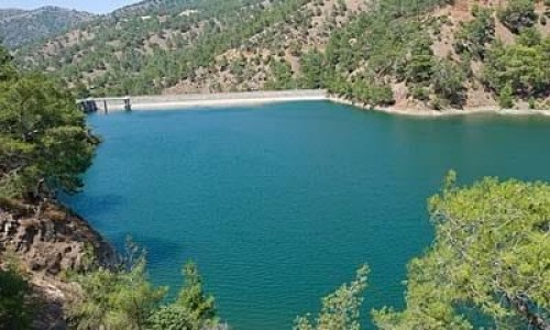
Often, the dam looks more like a water garden than a utility. Reflections of sky and cloud stretch across still water; migrating birds pause at dawn; fishermen walk the embankment quietly; and the hills rise gently behind—all under shifting southern light.
A Day by the Dam
Morning: Mist lingers over the surface, and sunlight filters through the trees. Climbers walk trails toward higher vantage points; birds wobble across in mutation; and the reservoir wakes with a soft, reflective calm.
Midday: Visitors spread on shaded rocks or quiet clearings beside the water. A few bring pie or sandwiches; others come to photograph time melting across land. Light dances in the leaves, and a breeze hums through the brush.
Evening: Cool air returns, light softens to amber, and color deepens. Reflections darken. The reservoir becomes glass in slow transition. Wildlife returns in scent-free motion; the only sound is wind and water, evolving into dusk.
Who Finds Peace Here?
- Hikers and gentle trekkers, chasing green paths under pine and oak
- Nature-lovers, embracing bird migration, slow water, and early light
- Photographers and artists, capturing reflections and seasonal hues
- Weekend strollers and families looking for shaded water’s edge
- Mindful travelers, longing for quiet that belongs to hills, not beaches
This is not a bustling recreation zone—it’s a rural calm, anchored in soil and shadow.
Tips for Visiting
- Best times: early morning or golden-hour evenings for light and solitude
- Packing: water, food, and shade essentials—no on-site amenities
- Footwear: comfortable hiking shoes—paths can vary from soft soil to rough stone
- Trails: follow signage—some stretches move through orchard or scrub
- Combine your visit with: Omodos, Stavros tis Psokas, or nearby forest paths for deeper day-circuits
Arminou Dam doesn’t demand spectacle—but quietly offers depth. It’s a reservoir that feels remembered, not celebrated—rendering water into stillness. In a place built for earthly purpose, it still awakens sensory lull—reflecting seasons, birds, sky, and sky-bound horizon above hill.
If you want travel that doesn’t hurry or rely on beaches or big crowds, Arminou whispers its way into your memory. It’s calm without being empty—and part of what makes Cyprus richer than postcards let on.
Name: | Arminou Dam |
Location: | Paphos District |
Year built: | 1998 |
River: | Diarizos |
Purpose: | Irrigation and Enrichment |
Type: | Dirt and Rockfill |
Dam category: | Large |
Capacity: | 4.300.000m³ |


