Fikardou
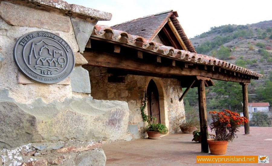
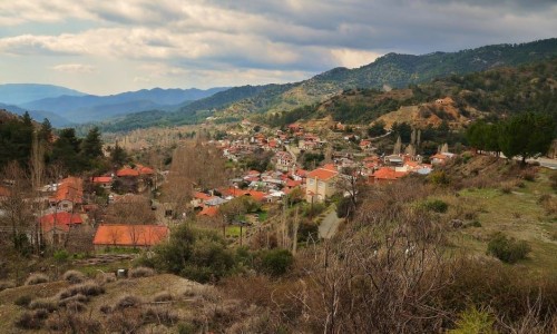
Nestled in the foothills of the Troodos Mountains, Fikardou is a charming village that offers visitors a journey back in time. Known for its traditional architecture and serene atmosphere, Fikardou has been designated as a UNESCO World Heritage Site, making it one of the most culturally significant destinations in Cyprus.
The village dates back to the Medieval period, with evidence of its existence as early as the 11th century. Over the centuries, it flourished as a rural settlement, with its residents relying on agriculture and crafts for their livelihood. Fikardou was eventually abandoned in the mid-20th century, but its historical significance led to a restoration project in the 1970s, preserving its unique character for future generations.
Architectural Highlights
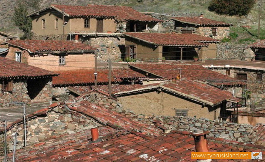
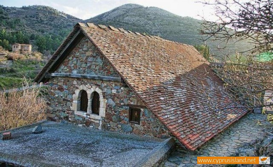
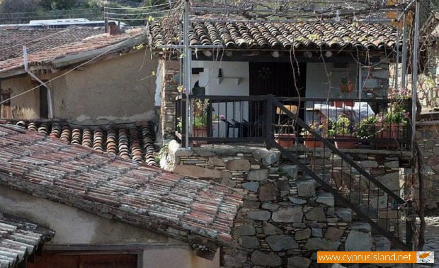
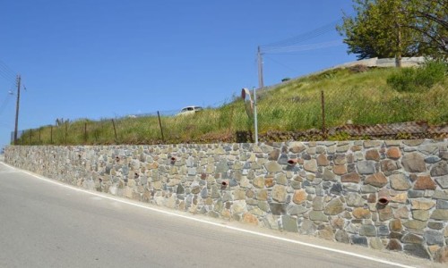
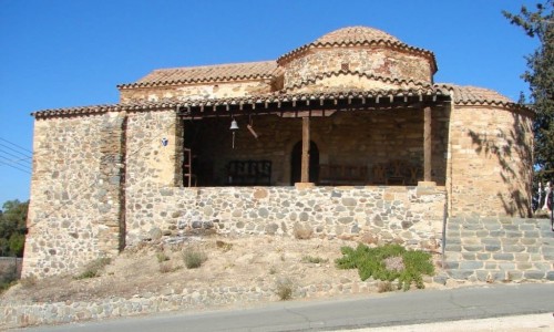
- Traditional Stone Houses: The houses in Fikardou are a perfect example of traditional Cypriot rural architecture, featuring stone walls, wooden beams, and tiled roofs. Many have been meticulously restored to maintain their original appearance.
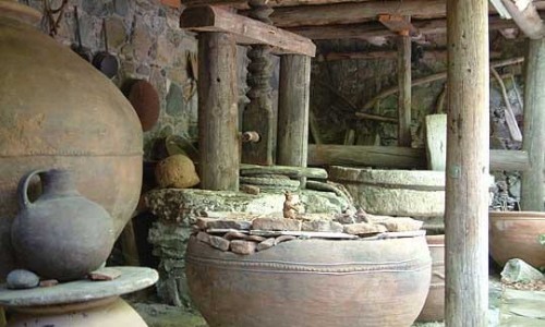
- Courtyards and Storage Areas: The homes often include inner courtyards, olive presses, and storage spaces for agricultural tools, offering insights into the daily life of the village's past inhabitants.
- Listed Monuments: Two of the village's houses, the Katsinioros House and the Achilleas Dimitriou House, have been converted into museums. They showcase tools, furniture, and artifacts that reflect the lifestyle and culture of the village during its heyday.
Things to Do in Fikardou
- Explore the Museums: The museums housed within the traditional homes provide a fascinating glimpse into the village’s history, including exhibits on rural life, agriculture, and local crafts.
- Wander the Cobblestone Streets: Stroll through the quiet streets and admire the well-preserved architecture, taking in the breathtaking views of the surrounding mountains and countryside.
- Enjoy the Local Cuisine: While Fikardou itself is a small village, nearby tavernas in neighboring villages offer authentic Cypriot dishes, perfect for a meal after a day of exploration.
- Photography: The timeless beauty of Fikardou makes it a photographer’s paradise. The combination of stone houses, lush greenery, and panoramic views creates picture-perfect scenes at every turn.
Why Visit Fikardou?
- Step Back in Time: Experience a village that has remained untouched by modern development, preserving the essence of Cypriot rural life.
- UNESCO Recognition: Its designation as a World Heritage Site underscores its cultural and historical importance.
- Peaceful Escape: The tranquil setting makes it an ideal destination for those looking to relax and reconnect with nature.
Practical Information
- Location: Fikardou is approximately 40 km southwest of Nicosia.
- Getting There: The village is accessible by car, with nearby parking available.
- Opening Hours: The museums are typically open from morning to early afternoon; check local schedules for exact times.
- Entry Fees: A small fee is charged for museum entry.
- Dress Code: Comfortable walking shoes are recommended due to the cobblestone streets.
Tips for Visitors Plan your visit during the spring or autumn months to enjoy the mild weather and stunning natural surroundings. Combine your trip with nearby villages such as Lythrodontas or Kalo Chorio for a full day of exploration. Fikardou is a hidden gem in Cyprus, offering a rare opportunity to step into the past and experience the beauty of a traditional Cypriot village. Whether you’re a history enthusiast, a nature lover, or simply looking for a peaceful getaway, Fikardou promises a unique and memorable experience.


