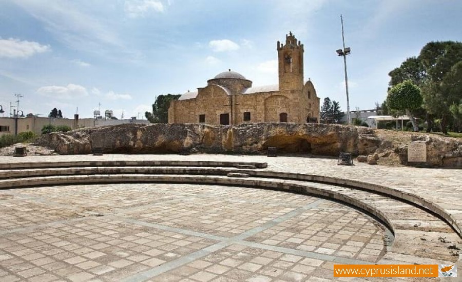
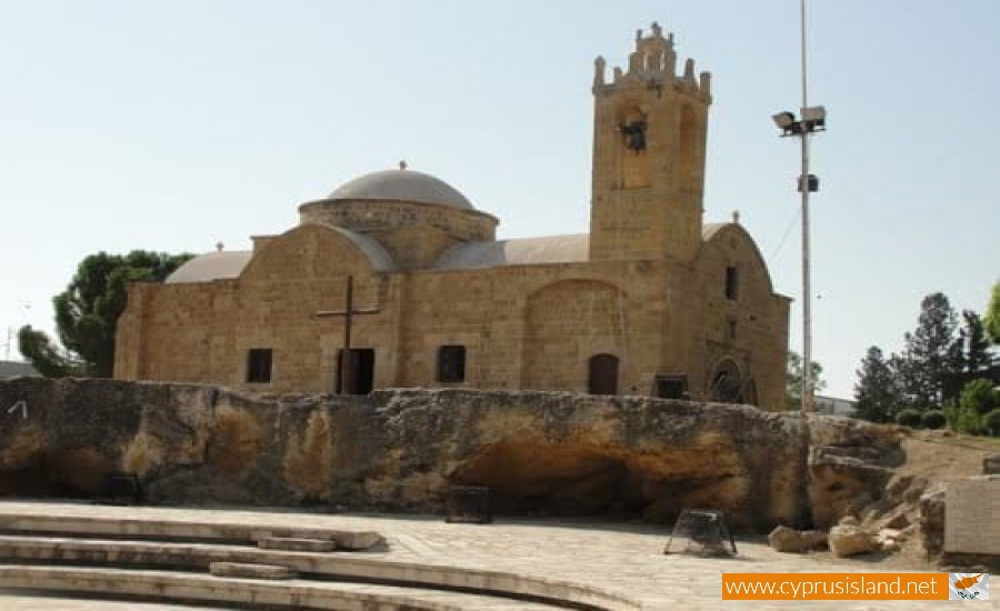
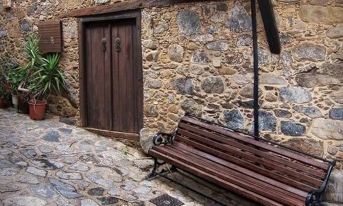
Agios Dometios is a suburb west of Nicosia and a municipality of Cyprus since 1986. It has an extent of 12 square kilometres and is located at an altitude of 160 metres. The largest part of the municipality, 4/5 are under the Turkish Occupation since 1974.

It is located 3 km from Nicosia and is crossed by the streams Siemma and Jiinar, riverines of the Pedieos River. Another large parish of the municipality is the parish of Agios Pavlos. It is mentioned for the first time during the Frankish rule, as a field.

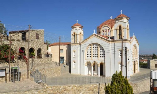
Until recently it was a small village with two churches, of Agiou Georgiou and Agiou Dometiou. It took its name from Agios Dometios the Persian. In Agios Dometios there is a border to the occupied Turkish side of Cyprus which was opened to the public in 2004.

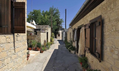
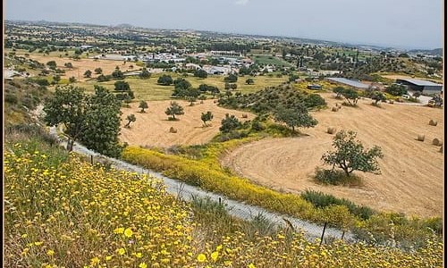
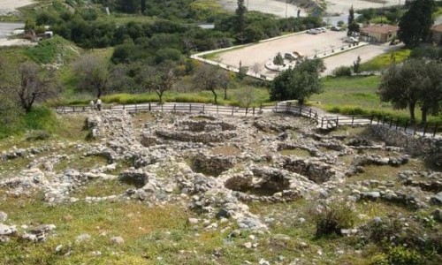
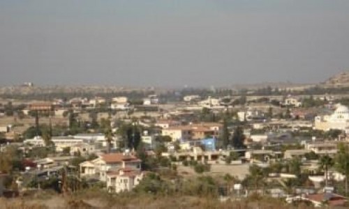
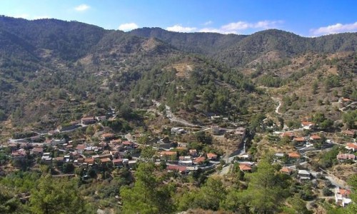
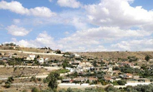
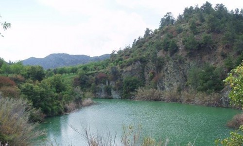
Agios Dometios photos: 
Agios Dometios location map: 

Nearby Places and things to do (within 5 km radius)

Polemidia Picnic Site

The Polemidia Picnic Site is located at  the Polemidia National Forest, 6 kilometres from the Limassol Centre. Altitude: 160 metres....

Marios Tokas Municpal Garden Theatre - Limassol

One of the most beautiful outdoor theatres in Cyprus, is located in Limassol and is situated within the Limassol Municipal garden with a cap...

The Municipal Museum of Folk Art- Limassol

The Municipal Museum of Folk Art is located in the Limassol district and operated on the 20th of June 1985. The museum included one of th...

Limassol Municipal Garden

The Limassol Municipal Garden is located on the coastal road, at the centre of the Limassol town. It is one of the most historical places...

Limassol Wine Festival

The Limassol Wine Festival is organised every year during the  beginning of September from 7 until 12 every night. During the celebr...

Cyprus Casino - City of Dreams Mediterranean

The Consortium Integrated Casino Resorts Cyprus (ICRC) has announced the construction of the casino which is expected to be built in the tow...

Pages