Konia Village
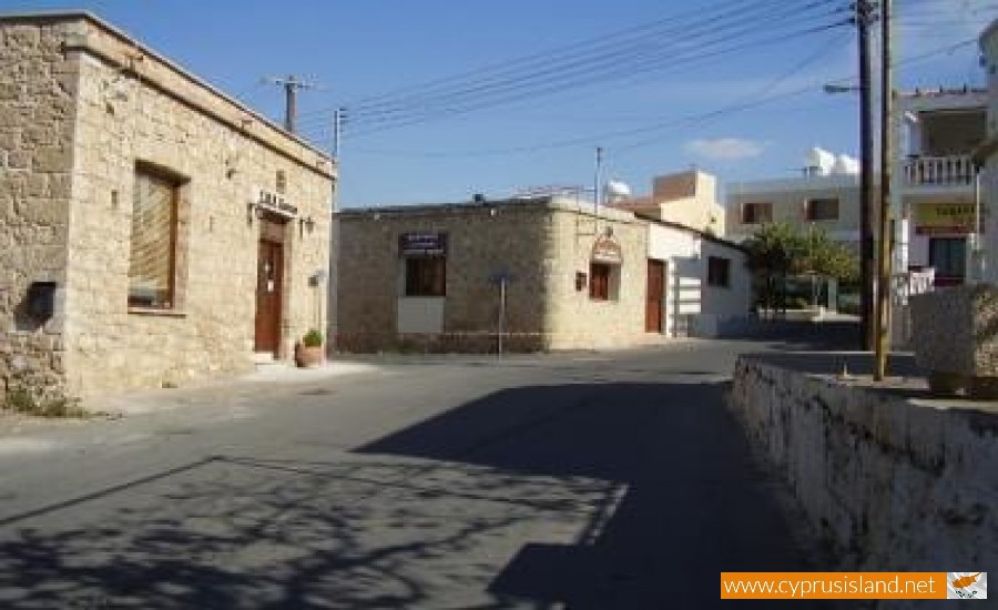
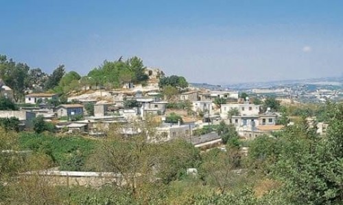
Konia is located at a distance of 3 kilometres east of the town of Paphos, at an altitude of 190 metres. It neighbours with the villages Anavargos to the Northwest, with Armou to the Northeast, Marathounda to the East and Geroskipou to the South.
According to one version, the village took its name from the word konnos which means clay. However this version cannot be valid as there are only few areas which have clay soil. Another version says that its name came from the word konnos because there are coned hills, which does not however occur. The coned hills are located to the east, to the northeast, north and at a distance of 2 kilometres from the village. The third and most valid version is that the name of the village comes from the word Konya, which was named this way from the Turks from Asia Minor. It is possible that the first residents of the community were Greeks from Asia Minor.
At a small area which was irrigated by the water of the only fountain, berry trees were grown, and their leaves were eaten by silkworms which produced silk during the Second World War. A while later a silk factory later operated in Geroskipou. Other trees which had importance to the residents were the tremith trees from which oil was produced. The well-known Paphos chewing gum was also made by this tree.
Konia met a constant increase in population from 1881 to 1946. In 1881 the village residents were 198, then increased to 227 in 1891, to 250 in 1901, to 296 in 1911, to 312 in 1921, to 37 n 1931 and to 413 in 1946. In 196, the population decreased to 394 and in 1973 to 366, but then increased to 369 in 1976 and to 416 in 1982. Today, the residents of the village are 1100 approximately. The community population is increasing constantly due to the expansion of the residential zone. The reasons which a lot of new residents are building in Konia are due to the small distance from town, the steadiness of the ground and the climate.
Saint Jacob Church
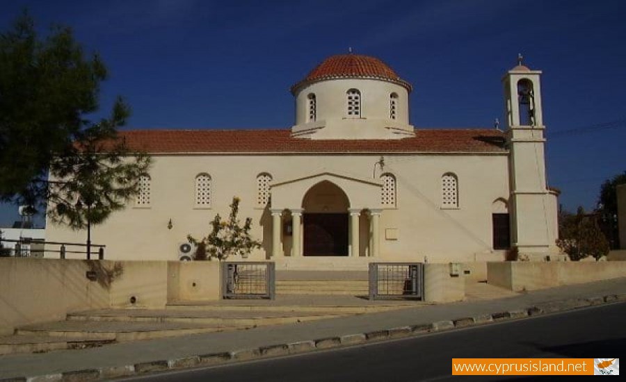
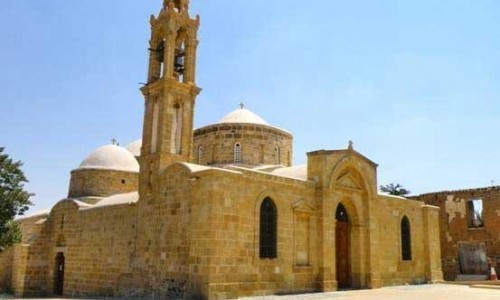
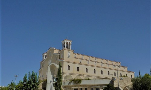
At the centre of the Konia village is a grand church dedicated to Saint Jacob. In 1953 there was a huge earthquake and the church was damaged and later destroyed. The community was left without a church for many years. They had made a temporary church as it was difficult to create a new one. From 1953 to 1979 the residents of the community went to church every Sunday and on celebrations.
In 1979 with the assistance of the metropolite Chrysostomos the construction began. With the help of the community and the metropolite, the building was completed in 1981. It was built in the same position as the older church of Saint Jacob was, in the middle of the village.
The church was built with a Byzantine architecture and a dome. It can accommodate up to 600-700 people. In the church square a monument was built in order to honour the heroes of the community. The bell tower is very simple and it stands out with two bells which can be heard every Sunday and on celebrations. In the interior there aren’t any iconographies but a wooden templo. The templo has three doors. There is an icon of Saint Jacob but it is not very old. The church is celebrated on the 23rd of October.
Legend of the Virgin Mary Chrysokoniotissa
Near the traditional water fountain of the village, an icon of the Virgin Mary Chrysokoniotissa was found. There is no information on who or when it was found. Today the residents have made a small iconostasis where anyone can pass, light a candle and pray at the icon. The area in which the icon was found was beautiful. The residents’’ goal is to construct a small chapel in dedication to the Virgin Mary Chrysokoniotissa. .


