Agia Anna Village , Larnaca
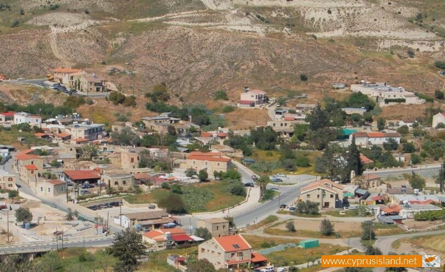
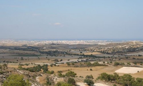
Ayia Anna Village in Larnaca is a charming blend of historic allure, serene rural life, and Cypriot hospitality. It offers a unique retreat for those seeking a more relaxed pace and a deeper connection with nature and local traditions. Whether you're a history buff, a nature lover, or a traveler seeking authentic experiences, Ayia Anna Village is a destination that promises to leave you enriched and captivated.The Agia Anna Village is located 16 kilometres west of the town of Larnaca , in the valley of the Tremithos River. It is built at an altitude of 135 metres above the sea level. to the north and west it borders with the village of Psevdas , to the northeast with the village of Kochi , to the east and south with the Kalo Chorio village , and to the southwest with Pyrga.
Nestled within the heart of Larnaca's picturesque countryside, Ayia Anna Village exudes a sense of tranquility and charm that sets it apart. This idyllic village provides a stark contrast to the bustling city life and is a cherished gem within Cyprus' rural landscape. This article offers a closer look at this beautiful village and its alluring appeal.
Ayia Anna Village, positioned amidst the lush hills of Larnaca, is a quintessential Cypriot village. With its well-preserved traditional architecture, serene atmosphere, and the warm hospitality of its residents, Ayia Anna offers a unique opportunity to delve into authentic Cypriot rural life.
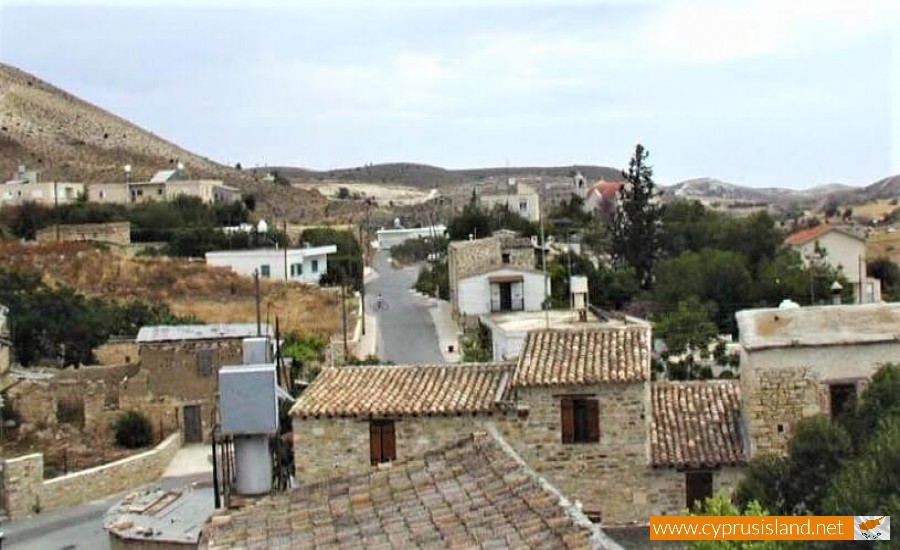
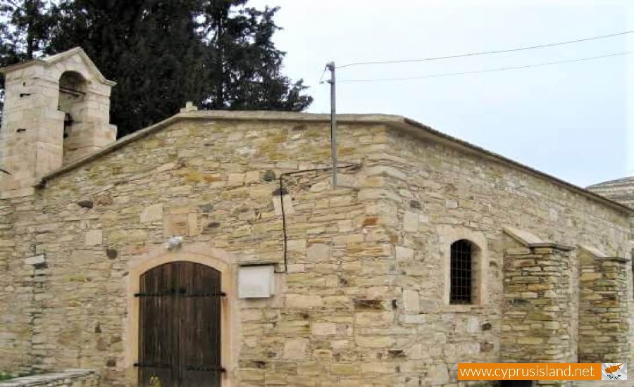
Ayia Anna Village traces its history back several centuries. It has maintained its traditional character and rustic charm, with narrow cobblestone streets, stone-built houses with distinctive red-tiled roofs, and an enchanting church that stands as the village's spiritual heart.
The pace of life in Ayia Anna Village is unhurried and relaxed. The villagers' daily activities are often centered around agriculture, given the fertile lands that surround the village. Locals tend to their fields, cultivate various crops, and rear livestock, reflecting their close ties with the land and nature.
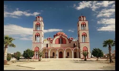
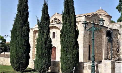
Visitors to Ayia Anna are greeted with open arms. The village offers a peaceful retreat from the urban hustle, with its beautiful landscapes, scenic walking paths, and the comforting sounds of nature. The central church of Ayia Anna, from which the village takes its name, is a notable site. Its striking architecture and the tranquility it offers make it a must-visit spot. In addition, the village is known for its delightful taverns, where visitors can indulge in authentic Cypriot cuisine, often made with locally sourced ingredients. The tantalizing aroma of traditional dishes, coupled with local wine, creates a gastronomic experience that lingers in memory.
Name
There are three versions as to the name of the village:
The first version is that the name was given due to the saint Agia Anna , who was seen to have passed through the village and drank water from one of its springs.
The second version is that a village used to exist with the name Tmios Stavros , in which there was a monastery dedicated to Agia Anna. The palm of Agia Anna was kept in this monastery. This village however was destroyed over the years, and the village of Agia Anna took its place in a short distance of it.
The third version is that a shepherd prayed to Agia Anna and he then had a vision of her, who asked him to build a church and name the village surrounding it as Agia Anna.
History
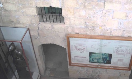
The Agia Anna settlement was created during the end of the 18th century, and beginning of the 19th century. However, archaeological excavations have shown that the area was inhabited from the Neolithic period. This is proven from the existence of catacombs towards the south of the old Agia Anna Church, from the ancient vessels, which are at an archaeological museum today, as well as the ruins of the ancient settlement.
Population
According to the population inventory, which took place in Cyprus, the population of the community constantly increased, apart from the inventory in 1901, 1946 and 1973 where there was a decrease. Before the Turkish invasion in 1974, Agia Anna was a mixed village; therefore, both Greek Cypriots and Turkish Cypriots lived there. From 1881 until 1960, the number of Greek Cypriots and Turkish Cypriots was the same. During the inventories of 1960 and 1973, the majority of residents were Turkish Cypriots.
Due to the bicommunal disturbances of 1963, all the Turkish Cypriots left the village and settled in the nearby village of Kofinou and Kalo Chorio. Some returned to Agia Anna later on but most of them stayed at the neighbouring communities until 1974. After the Turkish invasion in 1974, all the Turkish Cypriot residents of Agia Anna (including the ones who left in 1963) were transferred to the north part of Cyprus. Most of them settled in the village of Spathariko. The few residents of Agia Anna were Greek Cypriots along with some refugees.
During the last few decades, the community presents an important population increase. In 1891, the number of residents began at 122. There was a slight decrease in 1901 with a number of 116 residents. Ten years later the residents numbered 139 and continued with the same number for the next decade. In 1931, there was an increase of 50 residents making the total number to 189, while in 1946 the number dropped to 175. Fourteen years later, there was an increase to 182 residents and in 1973, there is a decrease to 102 residents. A few years later the number begins to increase to 138 and then to 153. It is not until 1992 where the village has a number of 200 residents. The residents continue to increase in 2001, bringing the total to 251 and then ten years later to 339.


