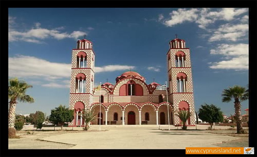
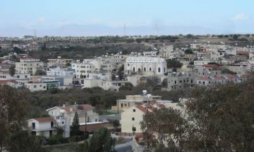
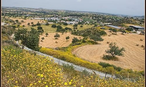
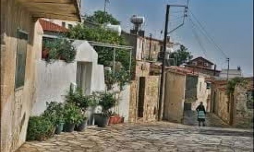
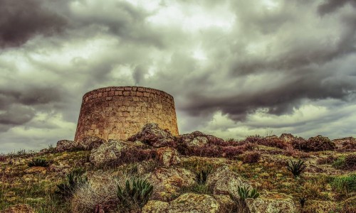
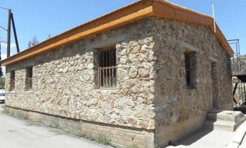
Aradippou is a municipality of Cyprus in the Laranaca district. It has a population of 11,448 and an extent of 42,982 square kilometres. It was officially recognised as a municipality on the 23rd of February 1986 and is located northeast of Larnaca.

At the town limits there is the Rizaelia Forest. The protector of the municipality is Saint Loukas. The residents of Aradippou were traditionally farmers, stockmen and many of them landowners. Aradippou is in the area of the ancient Kitio, where buildings of the Hellenistic period have been discovered. During the medieval times the Frank leaders had a holiday house in Aradippou which was destroyed by a raid by the Mamluks in 1425.

In 1974 with the inflow of refugees from the Turkish invasion, the population doubled. Its name comes from the mythical King Aradippos who was its resident.

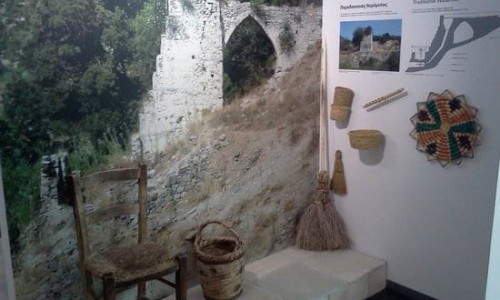
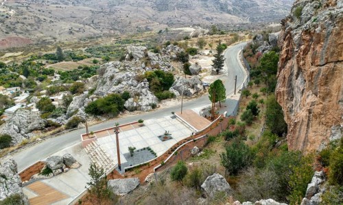
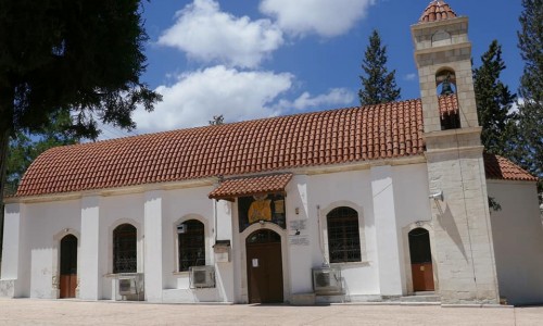
Aradippou photos: 
Aradippou video: 
Aradippou location map: 

Nearby Places and things to do (within 5 km radius)

Agios Nikandros National Forest Park

The Agios Nikandros National Forest Park is located near Ayia Napa on the beach zone. A new development project is being implemented. A picn...

Water World Waterpark

The Water World Waterpark is located in Ayia Napa, and began its operation in 1996. Since then it has won more than 25 International Awar...

Ayia Napa

Perched on the southeastern coast of Cyprus, Ayia Napa is a name that conjures images of golden beaches, turquoise waters, vibrant nightlife...

Cavo Nature Trail

Location: Cavo Greco District: Ammochostos Starting Point: An old mine, a parking area in Cavo Greco. Access from the Ayia Napa – C...

Parko Paliatso Luna Park

The Parko Paliatso Luna Park is located in Ayia Napa in Cyprus. The Park opened in 1999 offering fun and excitement to people of all ages. ...

Ammos tou Kambouri Beach

Ayia Napa’s name often conjures up images of beach parties, neon lights, and packed stretches of golden sand. And yes, much of that reputa...

Pages