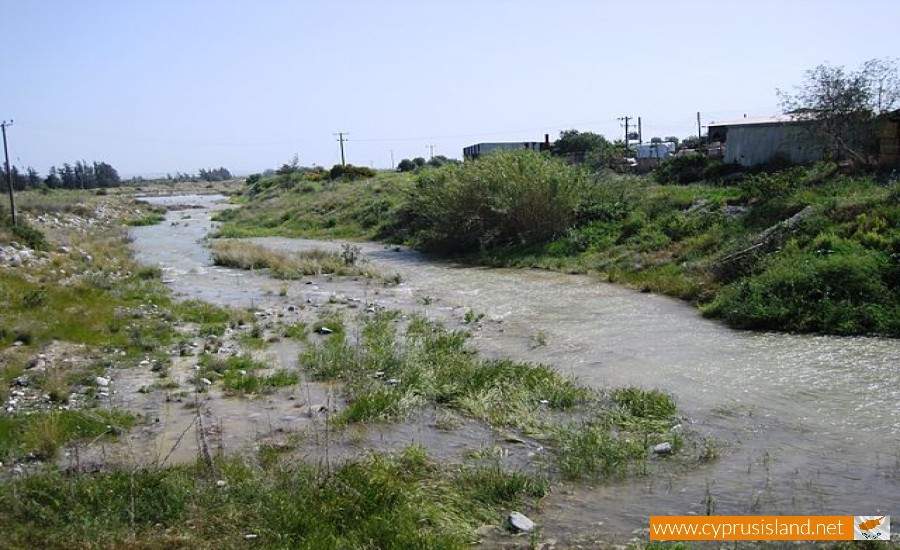
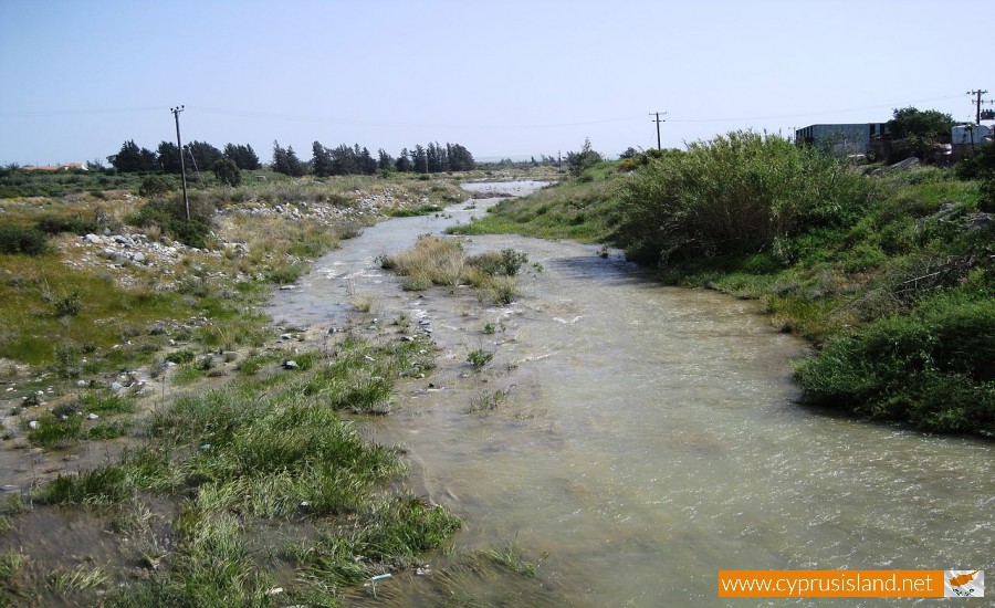
Kouris River is situated between the villages of Erimi to the east and Kantou to the west in the Limassol district. It is the 7th largest river in Cyprus with a length of 38 kilometres.

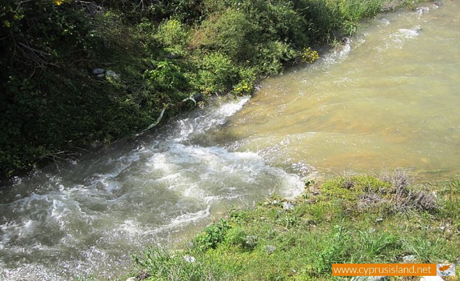
Even though its basin isn’t the largest in Cyprus, Kouris can collect large amounts of water, making it the largest river in capacity. It flows from the Troodos picnic area, becomes raging in Pano Amiantos finally pouring into the Episkopi Bay near Limassol.  During its course it passes through the Kyperounta village, the Saita Valley and the Trimiklini village forming a small canyon. In the case that the river overflows, it continues for about 13800 metres and it eventually pours into the Kouris Dam creating an impressive site.

Kouris River photos: 
kouris
kouris
  • kouris
  • kouris river
  • kouris river cyprus
  • kouris river limassol
  • river kouris
Kouris River location map: 
Nearby Places and things to do (within 5 km radius)

Stavrou Bridge - Fini Village

Stavrou Bridge is located in the village of Fini in the Limassol district. The bridge links the two parts of the Fini villages together. ...

Piskopou Bridge - Fini Village

The Piskopou Bridge is located at a short distance from the village of Fini in the Limassol district. It is situated in the Troodos Mountain...

Saint George Chapel - Fini

Outside the village of Fini, towards the north there is a mountain cliff and between the pine trees is the chapel of Saint George. Taking...

Agia Anna Chapel - Fini Vilage

Leaving the Fini village and taking the road towards the south there is a mountain cliff where the chapel of Agia Anna is built. With money ...

Agia Marina Chapel - Fini Village

A little further out from the village of Fini, in-between the plain at the location vines, surrounded by trees and bushes and at a close dis...

Traditional ‘Shepard Vourka’

The Fini village developed a special and large tradition in the creation of the traditional vourka, whose history is lost during the centuri...

Pages