Mandria Village - Paphos
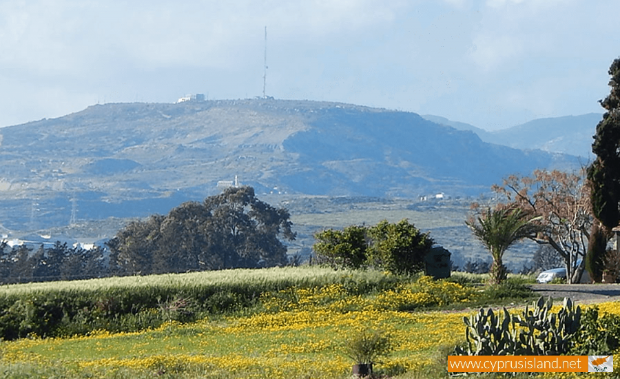
Mandria or Mantria village is situated in the Paphos district about 13 kilometres southeast of the town of Paphos and 2 kilometres east of Timi village. Mandria village was a Turkish Cypriot village and it is thought to have been founded by Turkish Cypriots 500 years ago.
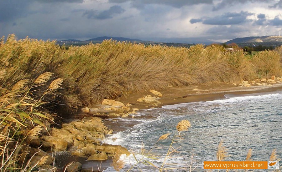
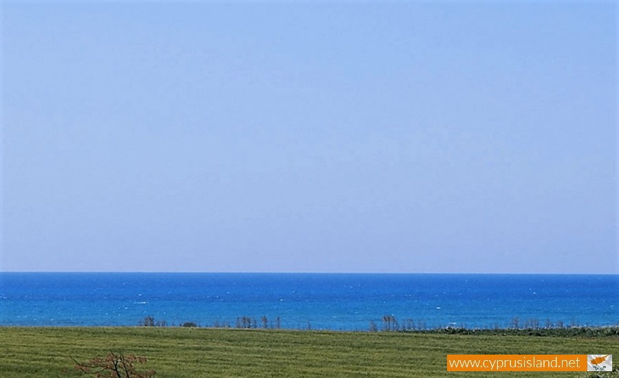
The village is built on the coastal plain of Paphos, at an altitude of 22 metres. The Xeros River flows along the east borders of the village, upon which the Asprokremmos Dam was built.
Mandria has an average rainfall of about 430 millimetres. Towards the prosperous parts of the village, citrus fruit (mainly lemons, oranges and clementine), vineyards, fruit trees (bananas, avocados, pears) peanuts, beans, wheat and olive trees are cultivated. A large amount of vegetables are also cultivated including potatoes , carrots , watermelons , melons , onions , beetroots , peas , cucumbers and tomatoes.
Livestock is also developed in the village. In 1985, Greek Cypriot refugees bed 1,805 sheep, 458 goats, 17 cows and 271 poultry. The number of sheep was the fifth largest in the district after the villages of Kouklia, Peyia, Inia and Timi. Livestock as well as agriculture formed the basic occupation of the Turkish Cypriot residents of the village before the invasion in 1974. In 1973, 124 Turkish Cypriots bred 1,103 sheep, 699 goats, 22 oxen, 32 cows and 1,672 poultry.
Mandria is included in the villages, which have benefited by the irrigation project in Paphos, especially by the Asprokremmos Dam and the drilling along the rivers in the area. In 1985, the irrigated land of the village was 357 hectares, and the Asprokremmos Dam irrigated 342 of them.
From a transportation point of view, Mandria is about 700 metres towards the left of the Limassol- Paphos main road.
Mandria met a continuous population development from 1881 until 1973. In 1881, the residents were 149, which increased to 179 in 1891, to 198 in 1901, to 216 in 1911, to 287 in 1921, decreased to 272 in 1931, but increased to 404 in 1946, to 414 in 1960 and to 642 in 1973. After the invasion, the Turkish Cypriot residents of the village were transferred to the north part of Cyprus therefore Greek Cypriot refugees moved to the village. In 1976, there were 409 residents while in 1982 there were 488. During the last inventory in 2001, the residents were 360.
The Turkish Cypriot residents of the village called the village as Yesllona, which can be translated as green valley. The village is built an in a prosperous area of the coastal plain of Paphos.
The village possibly existed during the Turkish occupation period, therefore it is more ancient than 1570-71, and must initially have been a shepherd settlement as its name means location with farms. It must also be noted that the village was written with the same name Mandria or even Mandrio.The ancient Cypriot city of Arsinoe was possibly located towards the sea. This area is where a chapel was built, dedicated to Agio Evresi. Opposite Mandria is the ancient cape Zefyrion as mentioned by Claudius Ptolemy.
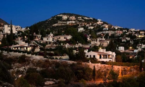
During the last few years, great development has occurred in the community as well as an increase of population. Many European citizens have chosen to live permanently in the village of Mandria.


