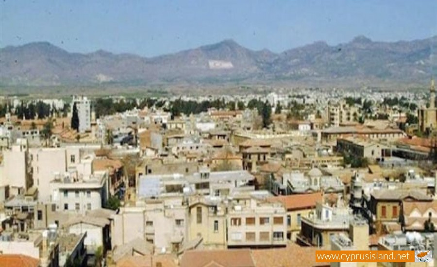
Hamit Mandres is a mixed Turkish Cypriot village – suburb in the occupied part of the Nicosia district of Cyprus.

It borders with the communities of Trachona, Omorfita, the industrial area of the occupied part of Nicosia and the village Mia Milia.

From the 1st of September 2008 the community council was cancelled and the village was officially a part of the unrecognised Turkish municipality of the occupied Nicosia.

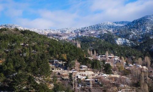
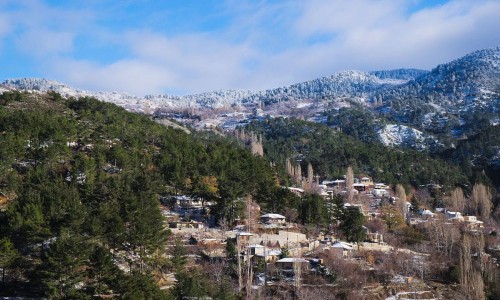
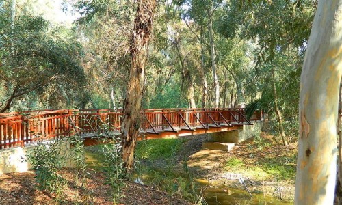
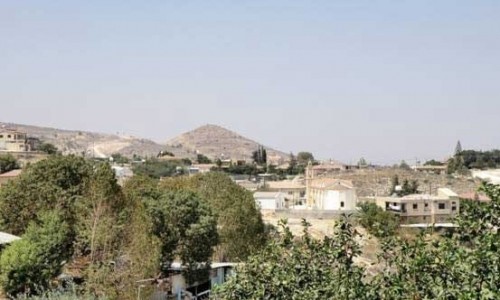
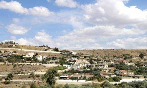
Hamit Mandres Village photos: 
Hamit Mandres Village location map: 

Nearby Places and things to do (within 5 km radius)

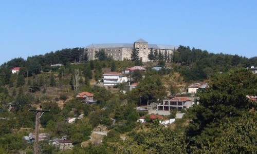
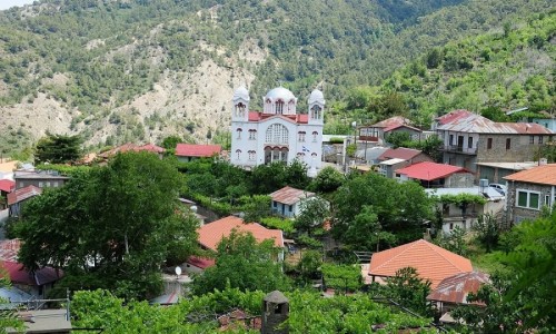
Prodromos Village

Prodromos is a village (Greek: Πρόδρομος) which belongs to the district of Limassol in Cyprus in the geographical region of So...

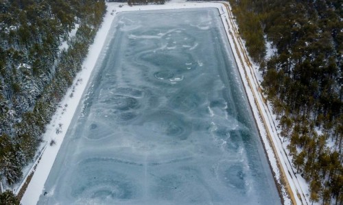
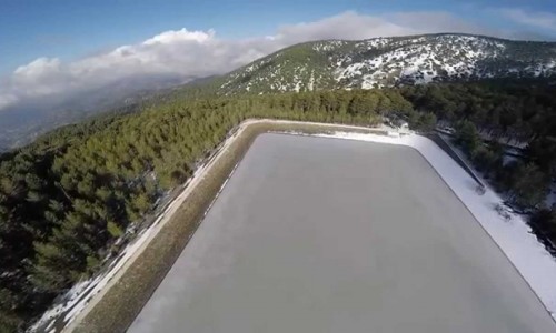
Prodromos Dam

Prodromos Dam is located at an altitude of 1600 metres, about 2 kilometres before reaching the village of Prodromos. It is surrounded by thi...

Prodromos – Zoumi Nature Trail

Location: Prodromos District: Limassol Starting Point: Children’s playground at Prodromos Community Length: 3 kilometres Time...

Prodromos – Lemythou Nature Trail

Prodromos – Lemythou Nature Trail Location: Prodromos District: Limassol Starting Point: Prodromos Village Square Length: 2...

Prodromos Dam Picnic Site

The Prodromos Dam Picnic Site is located at the Troodos Square – Prodromos road, 5 kilometres from the Troodos Square, on the left turning...

Prodromos Dam – Stavroulia Nature Trail

Location: Prodromos District: Limassol Starting Point: On the Troodos – Prodromos main road, a little further from the Prodromos D...

Pages