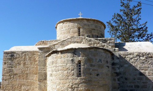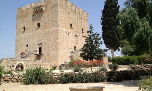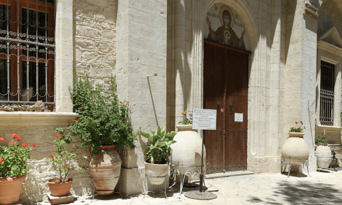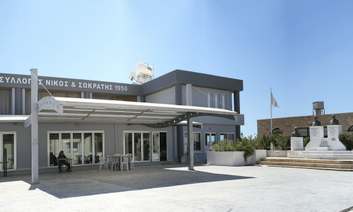

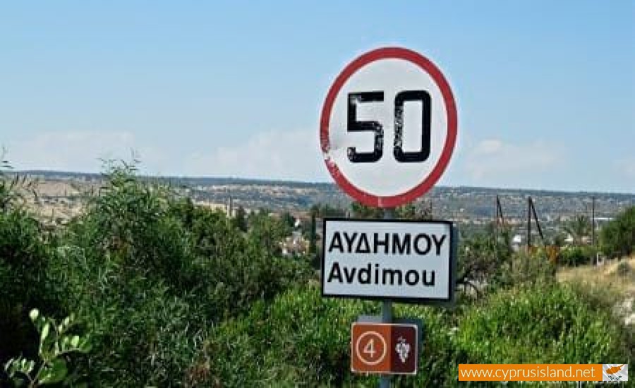
Avdimou is a village located about 13 kilometres west of the village of Episkopi in the Limassol district.
The altitude of Avdimou increases to 100 metres from 20 metres near the community and reaches up to 300 metres to the north.
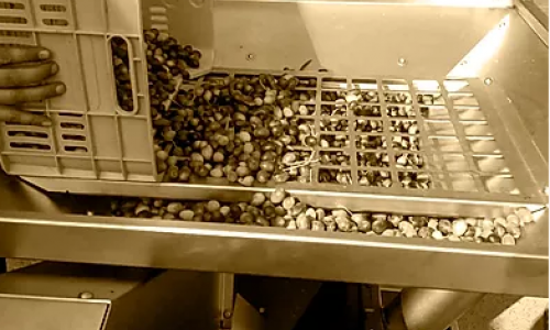
The community has an average rainfall of about 450 cm. The village grows a variety of fruit and vegetables, lentils, carobs, wheat and vineyards. Livestock is also quite developed in the area.
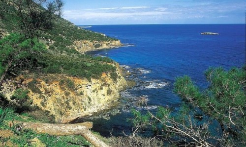
The fact that the village is located near the sea makes the climate wet in the summer and mild in the winter. From a transportation perspective, Avdimou connects to the new Limassol – Paphos to the south, with Anoygyra and Agio Thoma to the northwest and to Prasteio and Pachna to the north. The southern part of the community is included in the British Bases.
There are two versions as to the name of the village. The first mentions that the village is where the Phoenician leader Avdimon fled to after his expulsion from Evagoras A’ in 411 B.C and gave this name to the community. The second version which is the most possible, mentions that the village received its name from its first inhabitant named Evdimos.
The history of the village begins from antiquity. During the Luzonian era, Avdimou developed and was one of the 12 districts in Cyprus. During the ruling of the Venetians, Avdimou was a great centre. Since then it has become of the three apartments of the Limassol district, and continued to be a centre during all the years of the Turkish and British occupations.
According to the 2011 inventory it had 535 residents. Until 1963 the village was mainly inhabited by Turkish Cypriots but there were also some Greek Cypriots. In 1963, after the communal disturbances the Greek Cypriots abandoned the village. After the Turkish invasion in 1974, the Turkish Cypriot village residents were transformed to the occupied part of Cyprus and the Greek Cypriots moved to Avdimou.
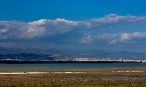
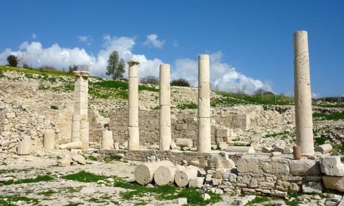
Near Avdimou Village
Other places within a short drive, closest first.