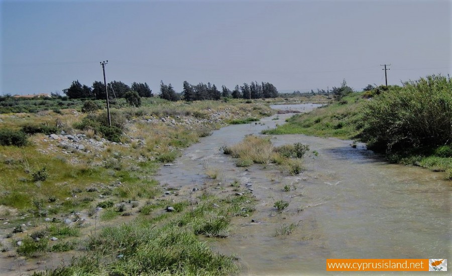
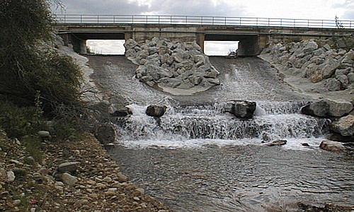
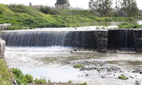
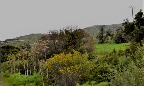
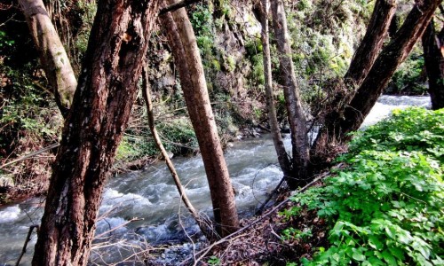
The Krios River flows from the area of Chionistra in the Troodos Mountains, in a direction towards the south and crosses Pano Platres and Kato Platres from the east.

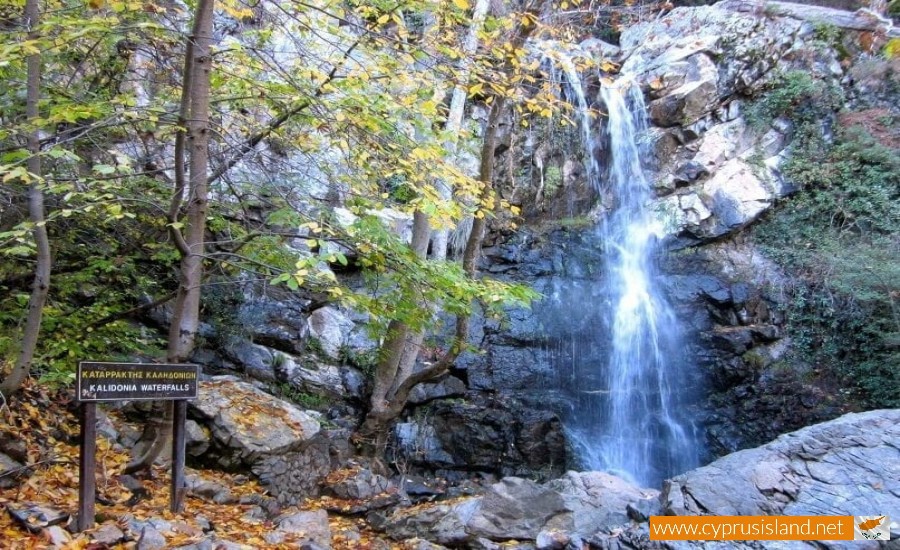
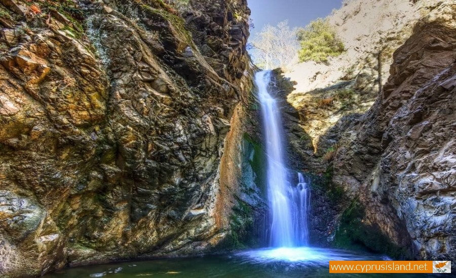
It creates a green valley with unique fauna and flora as well as waterfalls. Along its path it creates the Caledonia Waterfalls as well as the Millomeri Waterfalls which are the most famous ones on the island. Many tourists and locals visit the waterfalls and walk along the various nature trails in the area. The water flow is constant, with increases and decreases according to the weather conditions.

The river is a source of life for the community of Platers as well as other surrounding communities. The Krios River pours into the delta that is formed at the Kouris River along with other smaller river, creating the famous Kouris River and finally pouring into the Kouris Dam.

Krios River photos: 
krios river
krios river
  • krios river
  • calidonia waterfall
  • Millomeri waterfall platres
Krios River location map: 

Nearby Places and things to do (within 5 km radius)

Konnoi - Agioi Anargyroi Nature trail

Location: Konnos Beach – Agioi Anargyroi Beach District:  Ammochostos Starting Point: Route 1: Konnos beach, between Prota...

Konnos Bay

Ayia Napa, a vibrant coastal town in Cyprus, is renowned for its stunning beaches and crystal-clear waters. Tucked away in this Mediterranea...

Sea Caves Nature Trail

 Location: Sea Caves District: Ammochostos Starting Point: Sea Caves. Access from the Ayia Napa – Cavo Greco road, near Cavo....

Cyclops Cave - Paralimni

The Cyclops cave is located in the southwest side of the Ammochostos district. The area is filled with historical points, unknown to mo...

Ayioi Anargyroi Church - Protaras

Perched gracefully near the coastline of Protaras, Ayioi Anargyroi Church stands as a beacon of faith, attracting both the devoted and those...

Agioi Anargyroi Picnic Site

The Agioi Anargyroi Picnic Site is located 8 kilometers from Agia Napa in the Ammochostos district  towards the SOMERA station, the fir...

Pages