Paphos Forest
The Paphos forest takes over the north-western slopes of the Troodos mountain range.
It has an extent area of 700 square kilometres or 70.000 hectares and covered areas of Nicosia, Limassol and Paphos districts at an altitude from the sea until 1.352 metres (Tripylos).
In addition, the forest extents north until the villages Pomos, Pigeneia , Pano Pyrgos Tyllirias and the occupied village Varisia to the east it extends until the villages Gerakies , Lemythou , Treis elies , Kaminaria and Fini. To the south it extends until the villages Agios Nikolaos, Panagia and Kanaviou. To the west it extends until the villages Lysos, Kinousa , Argaka and Yialia.
Forest Management
The management of the forest is under the supervision of the Forest department of the Ministry of Agriculture, Natural Resources and Environment. The main management of the Paphos forest is located at the Forest department of Stavros tis Psokas. Other forest departments are located in the villages Kambos, Panayia, Yialia, Agios Nikolaos, Yeroskipou, Lysos, Kato Pyrgos, and the new government building in Paphos town. In order to have a more effective management, the Paphos forest is split into 11 valleys:
- Diarizos Valley (Platys)
- Roudia Valley
- Agia Valley
- Stavros tis Psokas Valley
- Agiou Merkouriou Valley
- Yialia Valley
- Leivadiou Valley
- Fleyias Valley
- Limniti Valley
- Kambos Valley
- Xeros Valley
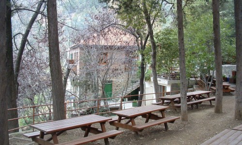
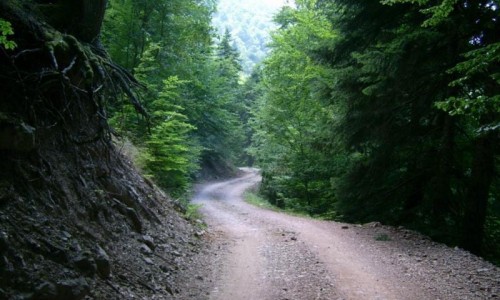
The main forest activities are, protection of the forest from fires, the design and improvement as well as maintenance of the picnic and camping sites, nature trails and the transportation network, the management and maintenance of the forests and the forest habitats, tree planting in bare areas, design plantation and maintenance of green areas, protection of wildlife etc.


