Peristerona Morphou
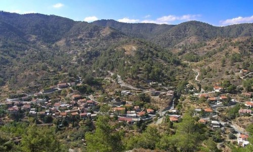
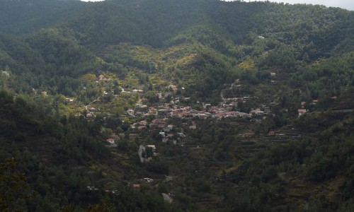
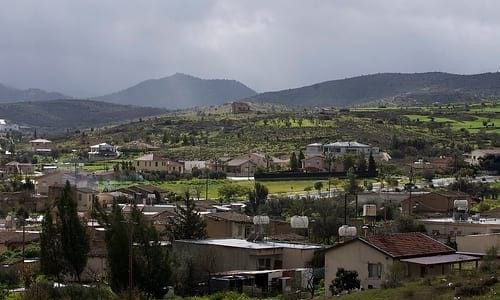
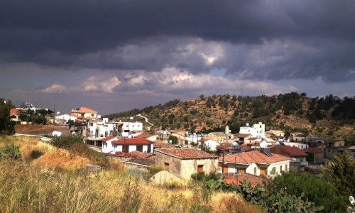
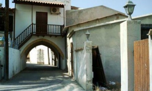
Peristerona is a village about 32 kilometres west of the Nicosia capital, at the foot of the Troodos mountain range, at the Morphou Valley.
It is built to the right side of the Serachi River which has the same name. According to the inventory in 2001 the residents were 2.173. It is mainly an agricultural village which produces citrus trees, fruit, vegetables, olives, wheat and almonds. The name Peristerona comes from the Greek word which means pigeon Due to its geographical position and that the ground is suitable for cultivation, the village has expanded and developed during the last few years. According to the Muslim mosque it is obvious that Turkish Cypriots also lived in Peristerona however the mosque in not in a position to accept pilgrims.
Churches
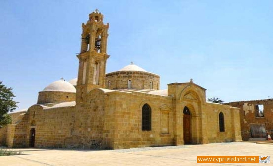
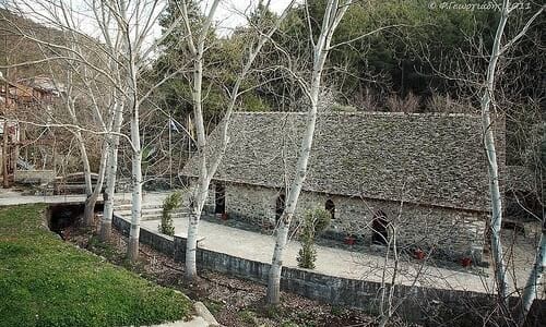
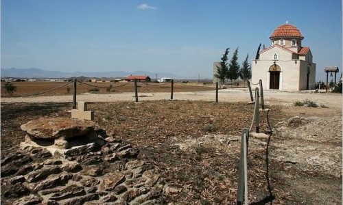
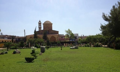
Next to the river is the temple of Saint Varnava and Ilarion. The church of the Saints Varnava Ilarion is dated to the 12th century and has five domes in the shape of a cross which is a characteristic only found in one other church on the island. There are also two other villages with the same name in Cyprus, one in the Paphos district and one in Ammochostos.There is also a chapel in the name of Agia Varvara dated back to the 16th century.
Various
The population according to the inventory in 2001 was 2,173 residents.
It is mainly a farm village which produces citrus trees, fruit, vegetables, olives, wheat and almonds.
The name Peristerona comes from the Greek word peristeri which means pigeon.
There are also two other villages with the same name in Cyprus, one in the Paphos district and one in Ammochostos district.
During the Turkish invasion Peristerona sacrificed 3 dead and 3 missing persons. There is also a monument being built at the entrance of the village in order to commemorate their sacrifice.


