Morphou
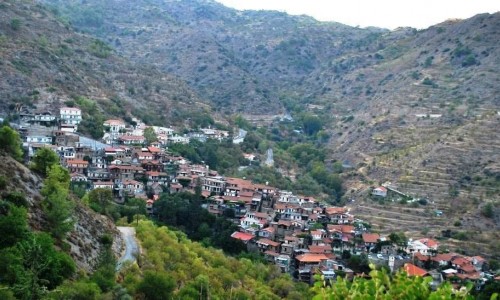
Morphou is a suburb in the district of Nicosia and has been a municipality of Cyprus since 1883. It is located at the west of the island at an altitude of 65 metres and it had an extent of 5.636 hectares. In 1974 Nicosia was partly invaded by the Turks and today is occupied. The temporary base for Morphou is the free part of Nicosia. Morphou was well known for its citrus fruit and mainly for its oranges. Every year there was an orange celebration which lasted for two weeks.
History
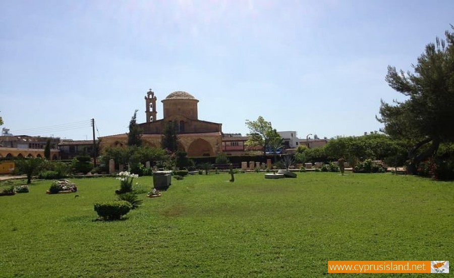
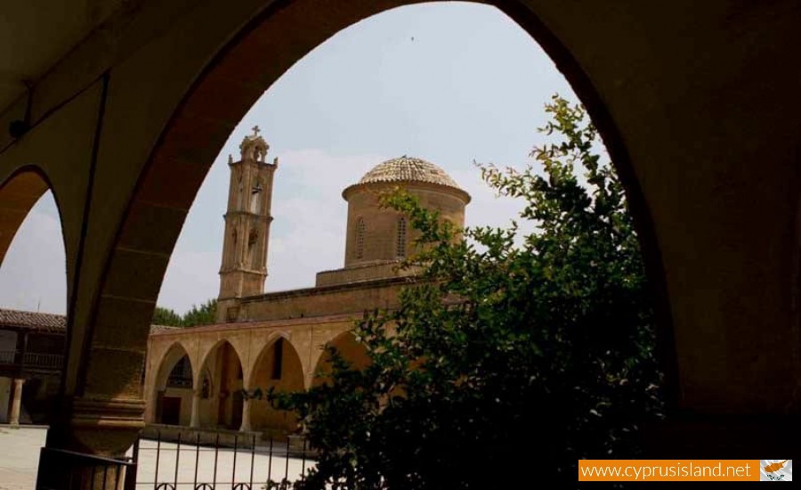
Morphou was founded by the Spartans who worshiped Aphrodite as Agapinor in Paphos. During the medieval times, due to the Arab raids in the area many Akrites were called to protect the island. These Akrites also worshiped Agios Mamas which is something they introduced in Cyprus. During the Ruling of the Franks, Morphou was a feud and in 1426 the first rebellion against the Franks occurred. During the occupation of the Turks Morphou was the capital of the area and it belonged to the district of Kerynia. During the British rule it was then announced an independent municipality in 1883. However during the second invasion of the Turks on the 14th of August 1974 Morphou was taken over by the Turkish army.
In 1852 the first school was founded and in 1917 the first kinder garden. In 1973 the Episcope of Morphou was created with the first Metropolitan being Chrysanthos Sarigiannis.
Morphou’s name is ambiguous. During the main version the name comes from the word Morpho which in Greek is another name for the goddess Aphrodite. During the byzantine years the type Theomorphou was then used. During the Ruling of the Franks they used the name Temorphou.