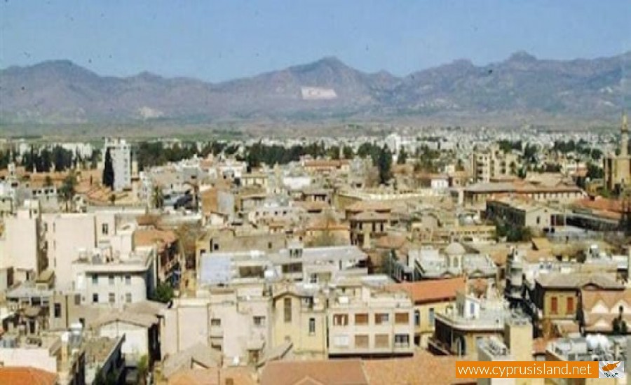
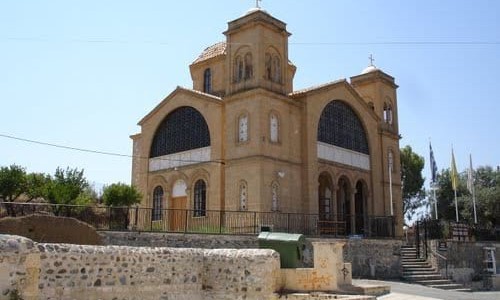
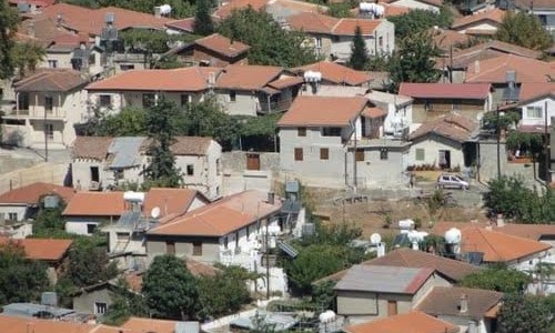
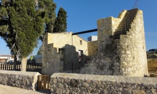
Hamit Mandres is a mixed Turkish Cypriot village – suburb in the occupied part of the Nicosia district of Cyprus.

It borders with the communities of Trachona, Omorfita, the industrial area of the occupied part of Nicosia and the village Mia Milia.

From the 1st of September 2008 the community council was cancelled and the village was officially a part of the unrecognised Turkish municipality of the occupied Nicosia.

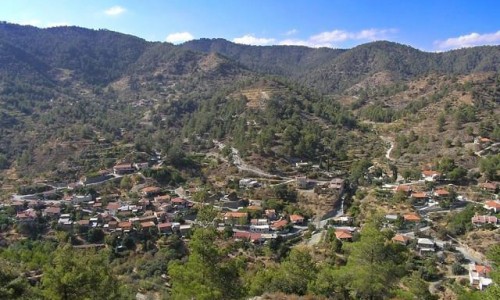
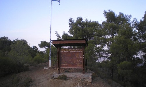
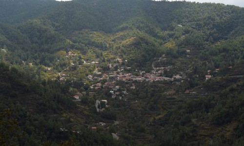
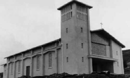
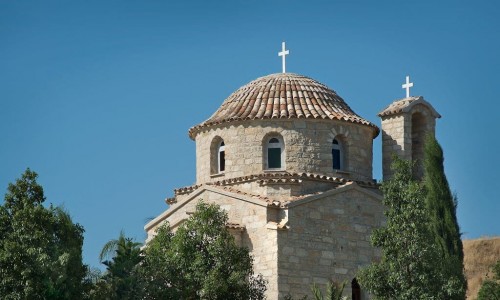
Hamit Mandres Village photos: 
Hamit Mandres Village location map: 

Nearby Places and things to do (within 5 km radius)

Millomeri Waterfall

The Millomeri Waterfall is situated between the villages Platres and Pera Pedi, at the southeast part of Platres Village, forming a popular ...

Caledonia waterfalls (Kalidonia)

Caledonia waterfalls, is one of the highest waterfalls in Cyprus and it is located in the village of Platres. The water falls from a he...

Pera Pedi Dam

The Pera Pedi Dam is situated about two kilometres north of the Pera Pedi Village in the Limassol district. More specifically, it is built o...

Kampi tou Kalogirou

The Kampi tou Kalogirou picnic site is located on the Platres-Prodromos road, 4km from Trooditisa and 3km from Prodromos next to the road in...

Monastery of Panagia Trikoukkia – Prodromos Village

The Monastery of Panagia Trikoukia is located about 2 kilometres from Prodromos village, towards Platres in the Limassol district. The monas...

Pera Pedi Village, Limassol

Pera Pedi Village is located south of the Troodos Mountain Range , about 35 kilometres northwest of Limassol at an altitude of 770 metres. I...

Pages