Aradippou is a municipality of Cyprus in the Laranaca district. It has a population of 11,448 and an extent of 42,982 square kilometres. It was officially recognised as a municipality on the 23rd of February 1986 and is located northeast of Larnaca.

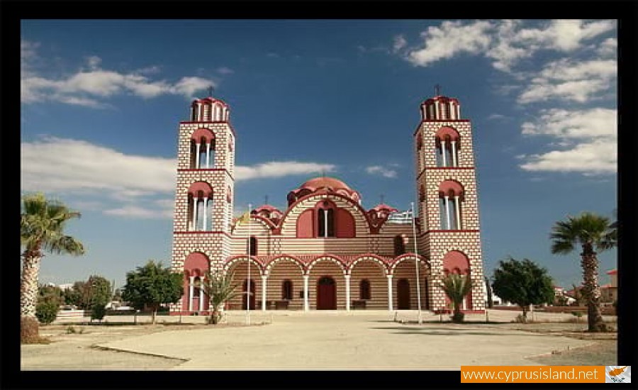
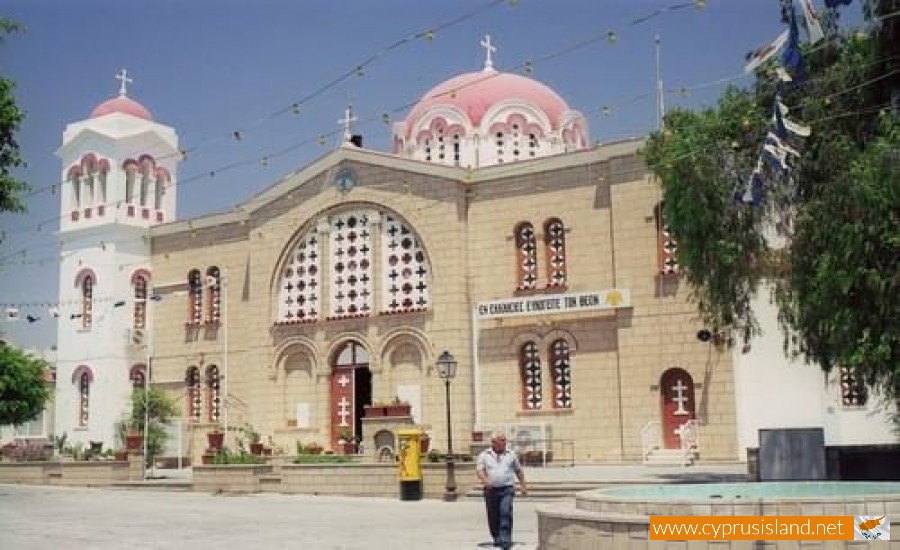
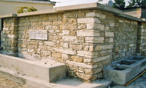
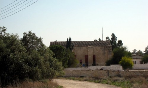
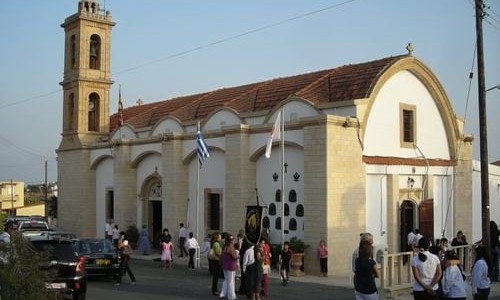
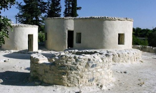
At the town limits there is the Rizaelia Forest. The protector of the municipality is Saint Loukas. The residents of Aradippou were traditionally farmers, stockmen and many of them landowners. Aradippou is in the area of the ancient Kitio, where buildings of the Hellenistic period have been discovered. During the medieval times the Frank leaders had a holiday house in Aradippou which was destroyed by a raid by the Mamluks in 1425.

In 1974 with the inflow of refugees from the Turkish invasion, the population doubled. Its name comes from the mythical King Aradippos who was its resident.

Aradippou photos: 
Aradippou video: 
Aradippou location map: 

Nearby Places and things to do (within 5 km radius)

The Mall of Engomi - Nicosia

The Mall of the West Suburbs The Company The Mall of Engomi (ME) Plc is the second member of the Atterbury Group of Companies in Cyprus, ...

Cyprus Theatre Organisation

The Cyprus Theatre Organisation is located in the Nicosia district and it began its creative trip in 1971 aiming to produce theatrical art. ...

Engomi

Engomi is an upscale and modern suburb located in the heart of Nicosia  the capital of Cyprus. The suburb is known for its luxurious pr...

Dance House (Nicosia)

Dance House  is located in the town of  Nicosia and it is a new, modern and unique area  dedicated to the support, promotion ...

Cyprus Cultural Centre

The Cyprus Cultural Centre was created in 2005 by decision of the Cabinet. The Board was appointed by the Republic of Cyprus in 2005 and the...

Academy Picnic Site

The Academy Picnic site is located 6 kilometres from the Nicosia centre, at the National Forest of the Pedagogy Academy. Altitude: 140 me...

Pages