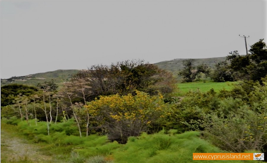
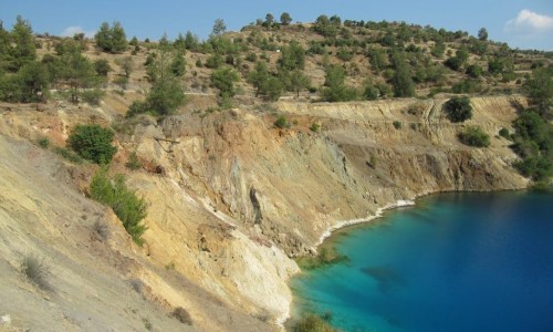
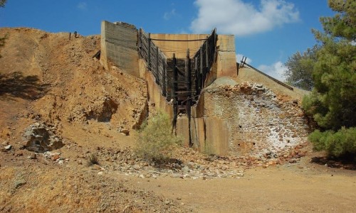
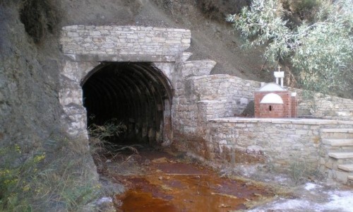
The Vasilikos River is situated in the village of Kalavasos in the Larnaca district. More specifically it is located about 40 kilometres from the town of Larnaca at an average altitude of about 80 metres.

The Vasilikos River extends from the Larnaca mountains until the village of Zygi at the south part of Cyprus. The river has a depth ranging from 2 to 8 metres.

The river has been linked with legends and traditions from antiquity as well as tragic incidents in modern history. According to tradition , a storm forced Agia Eleni to moor at the south coast of Cyprus , as she was returning from her visit to Jerusalem. She had stopped at the banks of the anicent Tetio River which was later on named Vasilopotamos or Vasilikos River in honour of the king's mother.

Vasilikos River photos: 
vasilikos river
vasilikos river
Vasilikos River location map: 

Nearby Places and things to do (within 5 km radius)

Agios Nikandros National Forest Park

The Agios Nikandros National Forest Park is located near Ayia Napa on the beach zone. A new development project is being implemented. A picn...

Water World Waterpark

The Water World Waterpark is located in Ayia Napa, and began its operation in 1996. Since then it has won more than 25 International Awar...

Ayia Napa

Perched on the southeastern coast of Cyprus, Ayia Napa is a name that conjures images of golden beaches, turquoise waters, vibrant nightlife...

Cavo Nature Trail

Location: Cavo Greco District: Ammochostos Starting Point: An old mine, a parking area in Cavo Greco. Access from the Ayia Napa – C...

Parko Paliatso Luna Park

The Parko Paliatso Luna Park is located in Ayia Napa in Cyprus. The Park opened in 1999 offering fun and excitement to people of all ages. ...

Ammos tou Kambouri Beach

Ayia Napa’s name often conjures up images of beach parties, neon lights, and packed stretches of golden sand. And yes, much of that reputa...

Pages