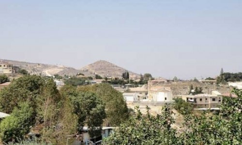
Mitsero
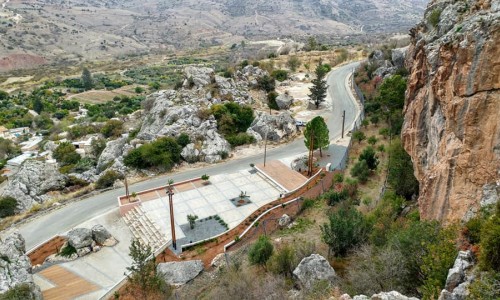
Mitsero is a village in the district of Nicosia and is situated about 28 kilometres southwest from the town. It is located 5 kilometres from the crossing of the new road of Pitsilia Palaichoriou and the road towards Agrokipia – Agios Panteleimonas. The village is built at an altitude of about 390 metres.
There are many versions for the name of the village. According to one version, the Templar Knights wrote the village as Micero in the tax lists of the Great Commantaria in 1100 A.D. Old encyclopaedias mention that it received its name from the plants and more specifically from the ones which grow in the area. The village is marked in old maps under the name of Micco. If one looks at the map of Cyprus one can notice that Mitsero is located in its centre.
The large villages are marked with a church in red colour and Micco is marked with this church. From the position of where Micco is marked there is no doubt that this is Mitsero. There is also the version that the name came from the word “mitsin” which means small. The ruins from its old church was small and this is possibly the reason.
According to the inventory which occurred in 1881 from the British government, the village had a steady population increase. According to the statistical services the residents were as follows:
- 1881 145 residents 86 men 59 women 42 houses
- 1891 182 residents 91 men 91 women 48 houses
- 1901 234 residents 117 men 117 women 61 houses
- 1911 265 residents 129 men 136 women 67 houses
- 1921 337 residents 170 men 167 women 82 houses
- 1931 378 residents 192 men 186 women 108 houses
- 1946 498 residents — men —women 131 houses
- 1960 717 residents 351 men 366 women — houses
- 1973 705 residents 353 men 352 women 190 houses
- 1976 1026 residents 519 men 507 women 255 houses
- 1982 704 residents 354 men 350 women 218 houses
- 1992 684 residents 337 men 347 women 214 houses
- 2001 residents
As it can be seen, there is a decade with a steady increase apart from the years which the Second World War took place and it was not possible to get a proper inventory. During the period of 1931-1946 the residents increase even more as a gold factory is created in 1928-1940, in which many residents received work and did not leave to go to town or abroad. There are also many families which came from elsewhere in order to work.
The migration of the residents always existed. From the beginning of the 20th century until today, a large part of the population migrates. During the first decade they usually went to Egypt. Then many began migrating to America. During the 50’s and 60’s many leave for England, Australia and Canada. When the work began in 1940 about 40 men went to fight. There was a family which had 4 members become soldiers. During that period the population decreases and not that many new families were created resulting in the decrease in babies.
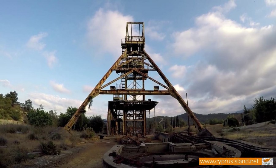
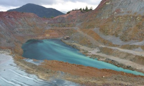
In 1952 the operation of the mines begin, resulting in the increase of population into nearly double. Many workers came from all over Cyprus in order to work (even some Turkish Cypriots and Greeks).
Even though the area of Mitsero does not have many fertile fields, it does have a rich vegetation and plenty of hunting. The rivers flowed during all seasons until 1955-56. The residents would catch eels in the rivers and the little ones would bathe in the ponds.
The women would go and fill their vases from the fountains which were next to the rivers. The most famous fountain was the fountain of Pyla , as well as the fountain of Panteli , and the fountain of Panagioti in Pera Alonia.
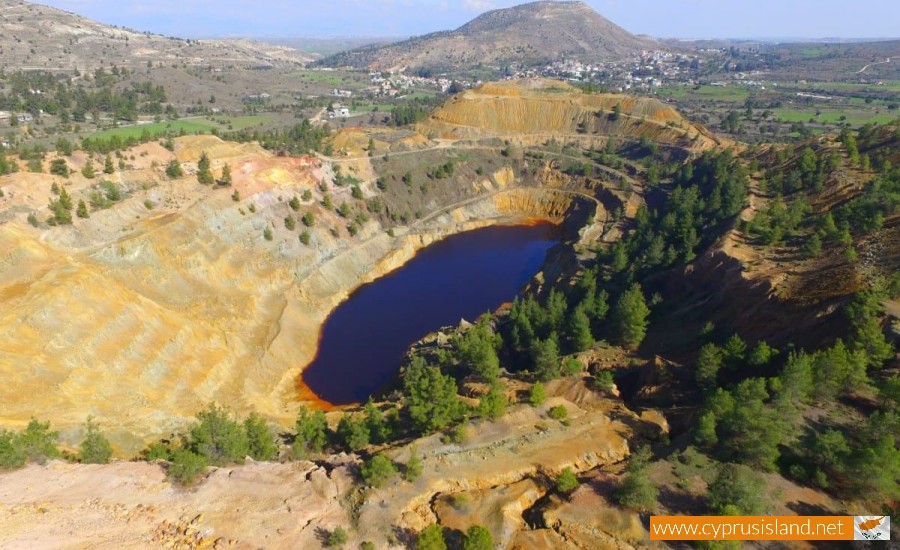
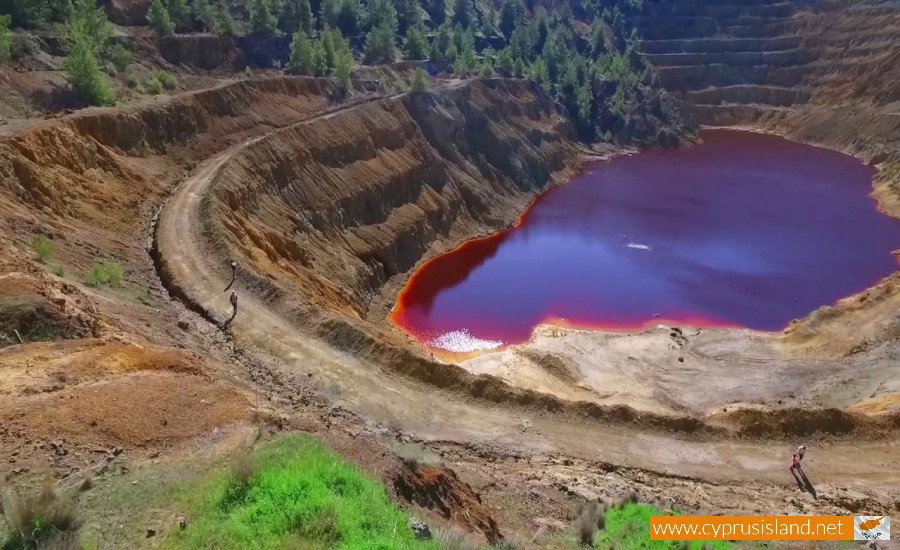
There are all types of soils in Mitsero, red soil, white soil and mixed soil. It is also rich in gold, copper and pyrite. This is due to the height of Troodos and the different rocks towards the outskirts.
The climate of the village has its own singularity. During the winter it is very cold and during the summer it is warmer than the neighbouring villages. The cold is due to the fact that it is built near many rivers, however recent climatic researches in the Troodos area, show that during the winter the cold air masses that try to get to Troodos return even colder and get trapped in the surrounding areas. The same occurs with the warm air masses in the summer.
During the Turkish invasion, the population exceeded 6.000. Until 1976 there were many refugee families, however they were forced to not being able to leave.
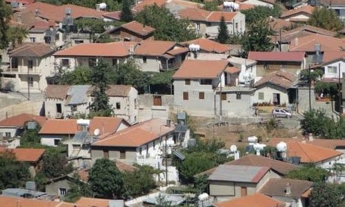
As the location of the village is located between the mountains and rivers, the villagers built their houses where the first rays of sun fell. The new houses were made of clay and straw, instead of stones as they were scared of earthquakes. The roof tiles were made by themselves and the floor was made of soil. The first water fountain of the new village was located in the river.
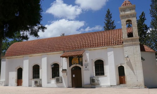
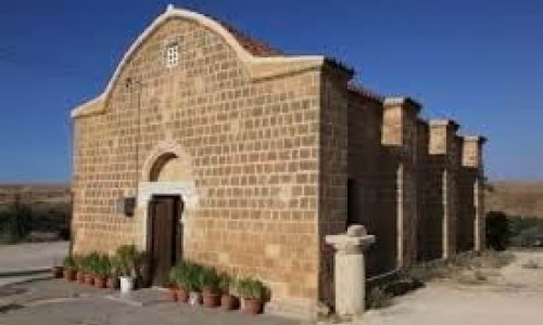
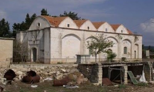
The village church is dedicated to Archangel Michael, because they were scared of being drowned from the many rivers in the area. The church is made up of one room with three arches that close in on the top. The roof is made of wide roof tiles.


