Armyropigado beach (Scouts beach)
Tucked away along the rugged and sun-drenched coastline of Kapparis, in the Famagusta district of eastern Cyprus, Armyropigado Beach is a coastal hideaway that remains blissfully untouched by mass tourism. Often referred to as Scouts Beach by locals due to the nearby scout activity center, this charming stretch of sand is the kind of place you discover accidentally—and then never forget.
It’s small, simple, and unassuming, yet full of quiet magic for those seeking a break from Cyprus’s more crowded and commercial seaside resorts.
The Setting: Coastal Wildness Meets Tranquility
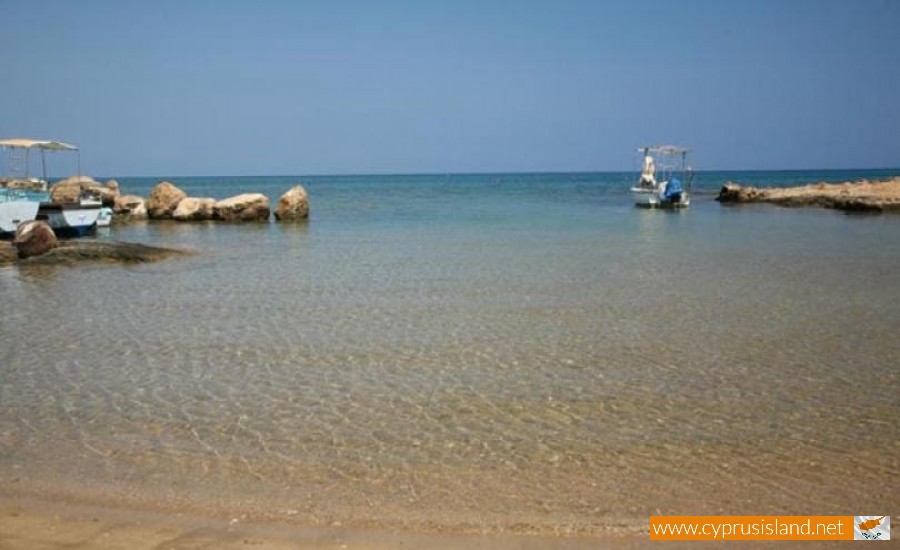
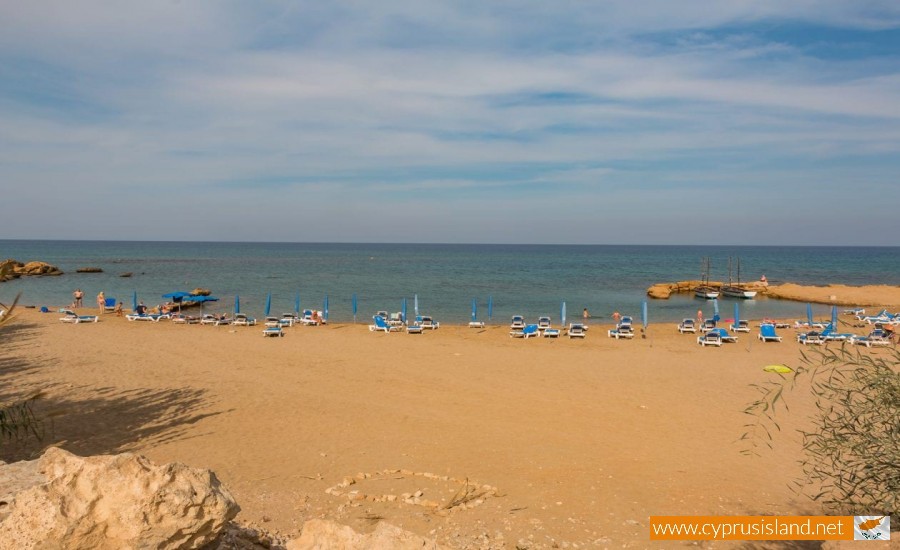
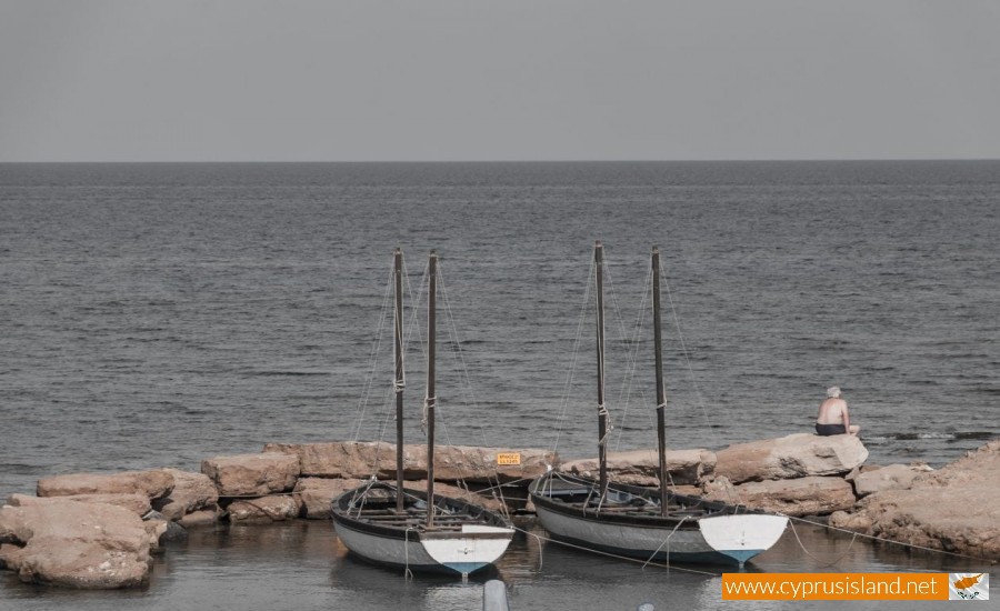
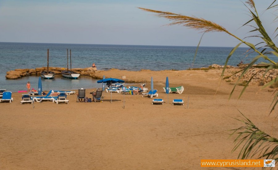
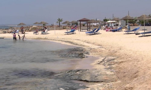
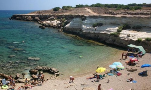
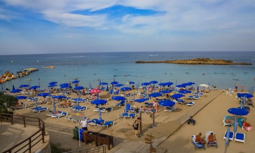
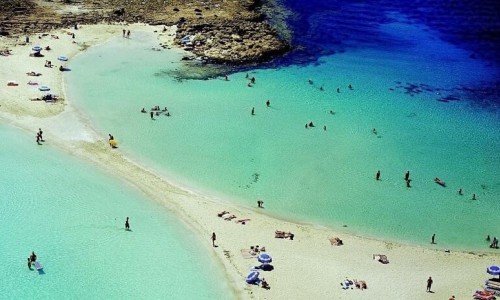
Armyropigado Beach sits at the edge of a low cliffscape carved by wind and waves over centuries. It’s a modest-sized beach, around 100 meters long, with a gently curved shore that cradles the shallow turquoise waters in a natural embrace. Sand and smooth stone mix underfoot, and reeds grow freely at the back of the beach, giving it an untamed character.
This beach is not groomed or heavily managed. There are no loud bars, no blasting music, and no high-rise hotels behind you—just the natural rhythm of sea, sun, and breeze. It’s ideal for those looking to unplug, read a book under an umbrella, or let the waves lull them into a long afternoon nap.
A Seaside Sanctuary with Just Enough Comfort
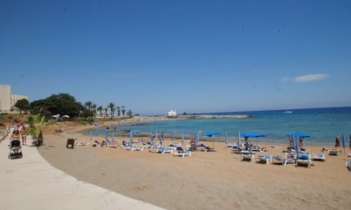
Though it retains a wild feel, Armyropigado is partially organized. You’ll find a few sunbeds and umbrellas, basic toilet facilities, and usually a mobile snack van or small beach hut selling cold drinks and essentials in the summer months.
There’s also an outdoor shower, which is especially useful if you’ve ventured into the sea and returned with a dusting of salt and sand.
The water is typically clear and shallow near the shore, making it especially good for children or casual swimmers. There are some rocky patches, so sea shoes are recommended, but overall it’s a gentle swimming experience with very little current or wave activity.
Getting There: A Beach Off the Beaten Path
Armyropigado is reached via a narrow dirt road that splits off from the main Kapparis coastal road. Though it may seem a little rough at first glance, the route is short and manageable by car or on foot.
What makes this approach special is the feeling of discovery. You don’t just stumble upon Armyropigado unless you’re looking for something quieter. That very seclusion is its appeal.
Parking is available near the beach, but limited, especially on weekends. For the best experience, consider visiting on a weekday morning or late afternoon, when the beach is at its most serene.
What’s Nearby: Hidden Beaches and Coastal Paths
One of the pleasures of Armyropigado is its position within a larger network of quiet beaches and trails. From here, you can follow a coastal footpath that links to other scenic spots such as:
- MMAD Beach (Malama Beach): A short walk north, more developed, with a beach bar and family-friendly vibe.
- Glyki Nero and Fireman's Beach: A bit farther, with deeper waters and slightly livelier scenes.
- Kapparis Coastal Trail: Perfect for morning or sunset walks, passing through wildflower fields, sea cliffs, and hidden coves. You might even spot local fishermen pulling in their lines at dusk.
Bring a camera or binoculars—the light along this stretch of coast is ideal for photography, and birdlife is often spotted along the reed beds and rocks.
Ideal for a Quiet Day at the Sea
Armyropigado Beach is not for the thrill-seeker or partygoer—it’s for the slow traveler, the nature lover, the family seeking a low-key day at the beach, or the local who knows exactly where to go for peace and sun.
Whether you’re laying out a towel with a paperback novel, collecting driftwood and seashells, or simply floating in the shallows while the wind rustles the reeds behind you, this beach delivers a rare sense of stillness and connection with the elements.
Tips for Visiting Armyropigado Beach
- What to bring:
- Water shoes (for walking on rocky parts of the seabed)
- Your own umbrella or shade if you're going early or off-season
- Snacks or a picnic—food options are minimal
- A good book or journal—the atmosphere invites quiet reflection
- Don’t expect:
- Loud beach bars, water sports, or big crowds
- Lifeguards (swim responsibly)
- Beachfront restaurants—though you’ll find some in nearby Kapparis
- Do expect:
- Beautiful views of the rugged coastline
- Golden afternoon light perfect for photography
- An authentic, simple, and calming seaside atmosphere
Best Times to Visit
- Early morning: The beach is nearly empty, the light is soft, and the sea is calm.
- Golden hour (before sunset): Ideal for walks, photos, and quiet reflection.
- Spring and Autumn: Weather is warm, the sea is swimmable, and the crowds are few.
- Summer weekdays: Busy weekends are possible, but even then, Armyropigado remains more tranquil than most.
A Place to Breathe
Armyropigado Beach is not trying to be the biggest or most beautiful beach on the island. Its charm lies in its understatement, in the way it offers a return to something elemental and unrefined. It’s a place where the sound of the sea drowns out thought, where time slows, and where the edges of land and water blur into a gentle memory.
For the traveler who values moments over monuments, and stillness over spectacle, this hidden beach in Kapparis might just become a personal favorite.


