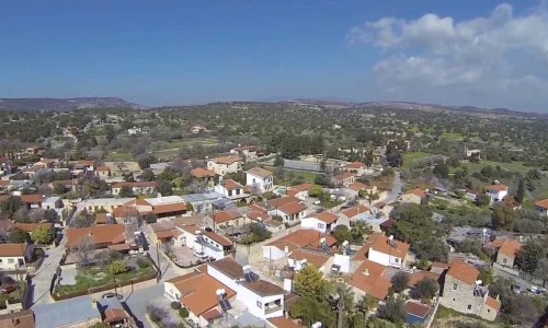
Treis Elies Village
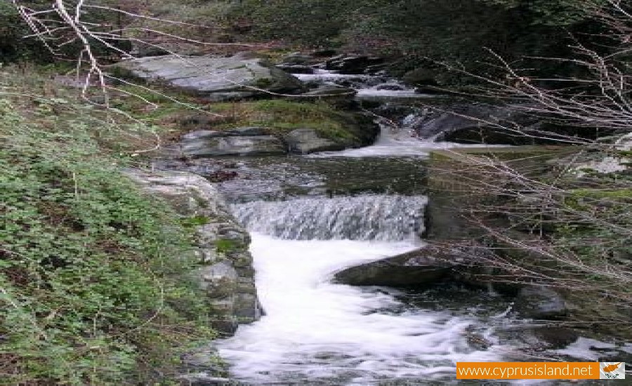
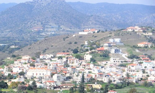
The Treis Elies village is located 50 kilometres northwest of the Limassol district, on the south side of the Marathasa Valley. The village is built at an altitude of 845 metres above the sea level, at the river bank of one of the smaller rivers of the Diarizos River called Drakontas River. The highest point in the village is the Prophet elias mountainpeak at an altitude of 1106 metres. The community has an average rainfall of about 850mm.
To the south it borders with Agio Dimitrio, to the west with Kaminaria, to the north with Lemythou and Milikouri and to the east with Paliomylo. Administratively it belongs to the Limassol district while religiously it belongs to the church Metropolis of Morphou. The name of the village is possibly due to the existence of olive trees in the area, which is very rare for this type of mountainous terrain.
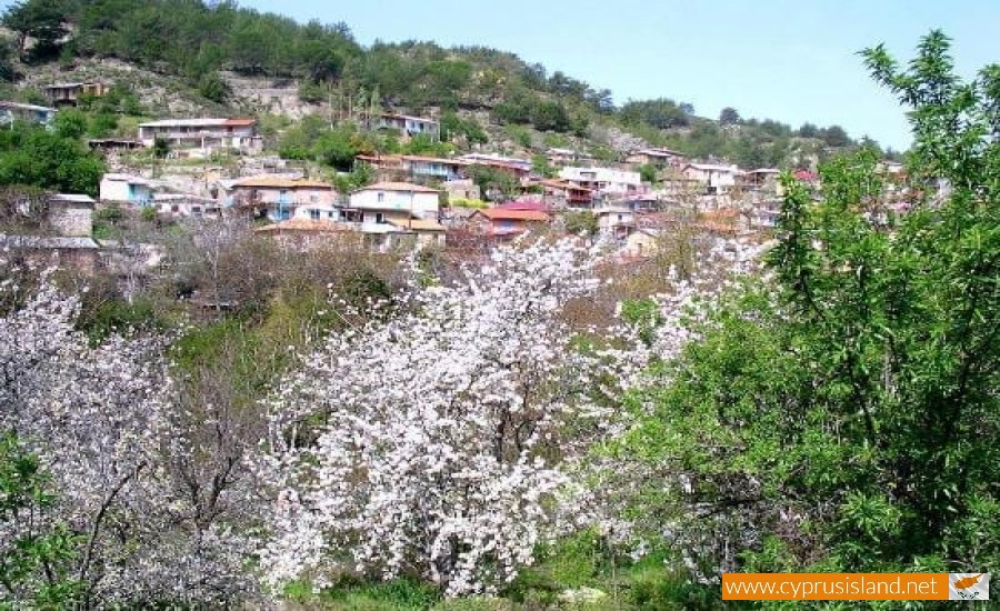
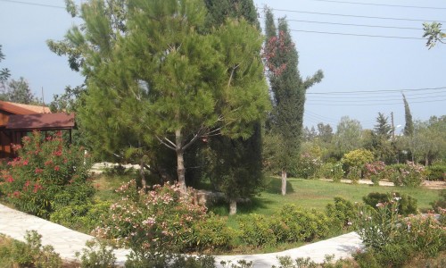
The area has many cultivations such as apple trees cherry trees, prune trees and vineyards for the creation of wine. The wild vegetation includes pines trees, oak trees, terebinth trees, plain trees and cedar trees.
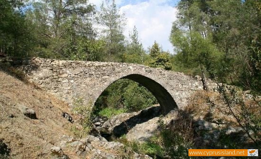
The village has many perennial trees, such as the two pine trees at the entrance of the community, the oak tree of Agios Andronikos, the oak tree at the location of Arkokannavi, the oak tree at the location of Lakkoti, the plain tree of Kossina and the plain tree of the Kryos River Bridge. The Kryos River Bridge was built during the 17th century and the plain is possibly of the same age.
During the Venetian period (1489-1570) the village was one of the 24 villages of the Marathasa district and belonged to the feuds of the Venetian Republic. The older existence of evidence, such as the iconostasis of the Archangelos church shows the existence of the village from the end of the Venetian Period during the 15th century.
The community met many increases and decreases over the years. In 1881 the residents were 180 and increased to 239 in 1891. They decreased to 162 in 1901. During the British rule the village met a great increase. Therefore in 1911, the residents were 279, to 316 in 1931 and to 406 in 1946. They village was then hit by urbanism, as well as the other surrounding villages as well. The result was the population decreasing to 381 residents in 1960, to 237 in 1973, to 129 in 1982 and to 65 in the year 2001. According to the last inventory there were 57 residents left.
The village is surrounded by green vegetation and the dark grey colour of the volcanic rocks in the Troodos Mountains. The colour composition is completed with the colours of the community (stone built walls and red roof tiles). According to the season, the leaves on the trees change from red and yellow in autumn and white and pink during spring. Pine trees, oak trees, terebinth trees, plane trees and cedar trees and found in the wild vegetation in the area.
According to tradition, Agios Charalambos was thought to have lived in the Treis Elies area, during the end of the 2nd century A.D. A shrine with a piece of the saint’s bone is kept in the Panagia Church.
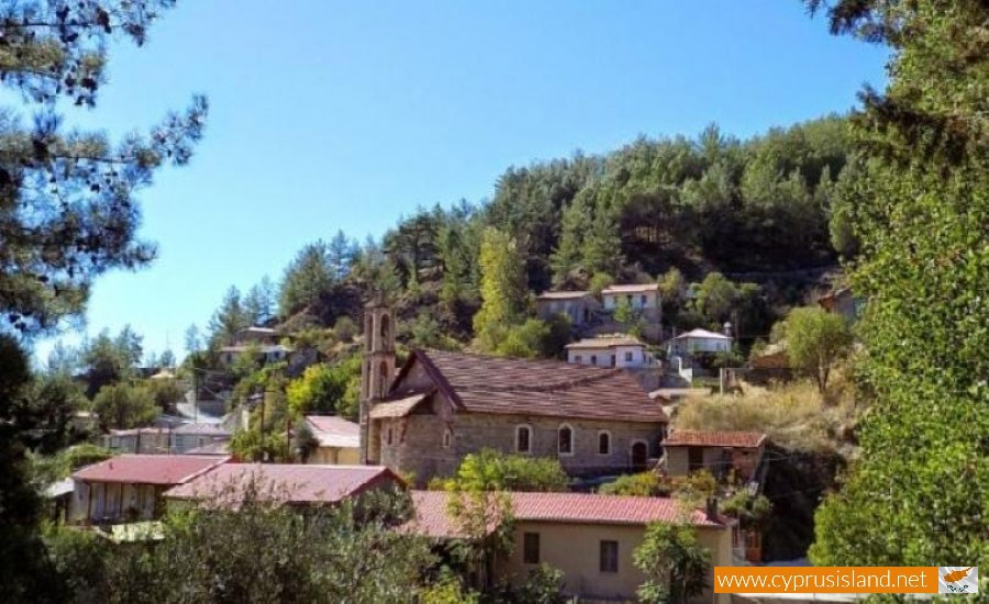
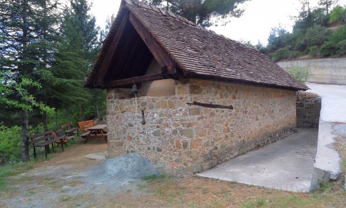
The Panagia Church is the main church in the village, dedicated to the Virgin Mary Chrysosotira. The village has another church, of Archangel Michael as well as the chapels of Agia Paraskevi , Agiou Andronikou and Prophet Elias.
Other attractions in the village are the Venetian bridges, the nature trail and the sulphide waters.


