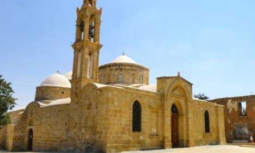
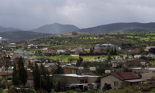
Gourri Village
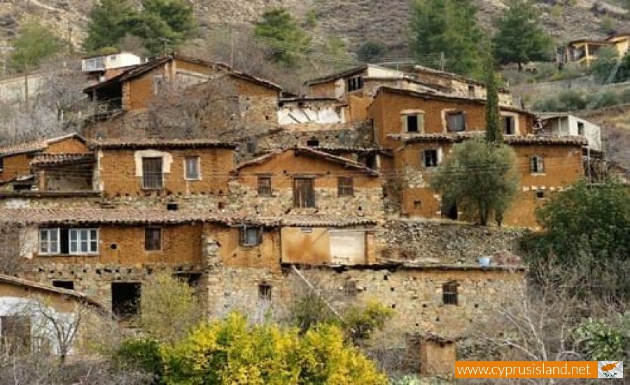
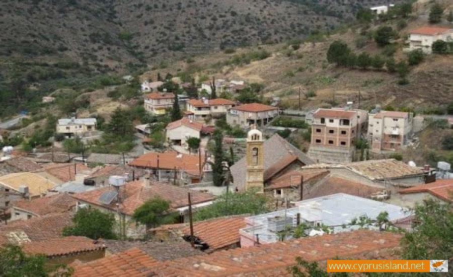
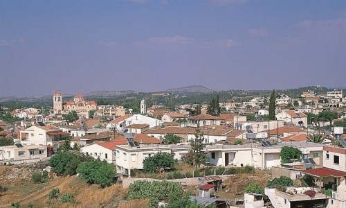
Gourri is a community of the Nicosia District in Nicosia, Cyprus. According to the inventory in 2001 it has 225 residents.
History
The archaeological remains which have been found, show that the area of Yiouri was inhabited during the 5th century B.C. During the period between the 5th and 7th centuries, was the worse in the history of Cyprus. Earthquakes, anti-paganistic laws and Arab invasion forced a part of the population to move towards higher mountain areas. According to myth, the area was controlled by the gangs of Macheras. The name of the village came to existence, when the regime of “neutral condominium Byzantines and Arabs" changes and a general amnesty occurred during the beginning of the 8th century. One of these gangs was the Kourioi who came from the ancient city of Curium. The village then took the name of the gang “Kourioi” which then turned into “Youroi”. During the dynasty of the Komninon during 1059-1185, Yiouri as well as the other villages were under the command of the Holly Monastery of Macheras. At this time the village dealt with the production of agricultural tools, horse saddles, horse carriages and bells for sheep.
The Louzinian conquerors 1192-1489 imposed the feud system on the island and removed the administrative privileges that the Monastery had. The village residents had rebelled and the Franks imposed the army feuds’ in order to destroy the rebellion. The rebellion resulted in the killing of 13 and monks and the complete destruction of the villages, Rodia, Kalamithasa as well as other small villages. This was the first time the village Yiouri was completely taken over by military.


