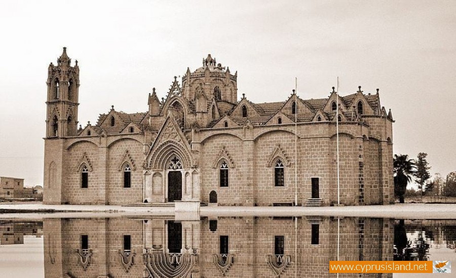
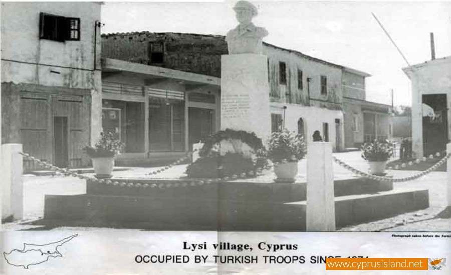
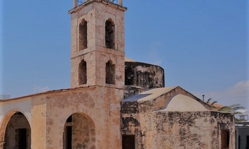
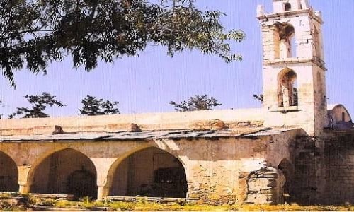
Lysi is an occupied province of Cyprus and an independent municipality of the district of Ammochostos.

The municipality’s temporary base is Larnaca. Lisi is located in the area of Mesaoria and about 32 kilometres from Nicosia, 20 kilometres from Larnaca and 29 kilometres from Ammochostos. Before the Turkish invasion in 1974 it had 5.500 residents.

History

Lisi was announced a municipality in May 1962 with the first mayor being Yiango Souroulla. After the agreement with Zurich, the local board was replaced by the improvement board. In 1986 it was announced a municipality again. The name comes from the ancient city of Elisi which was in the area.

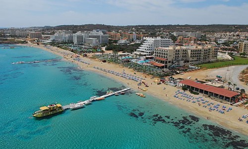
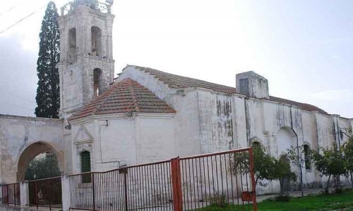
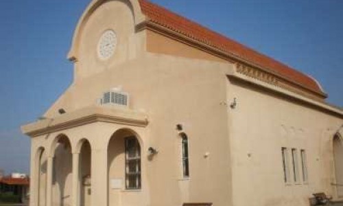
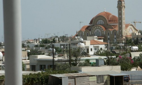
Lysi Village photos: 
Lysi Village location map: 

Nearby Places and things to do (within 5 km radius)

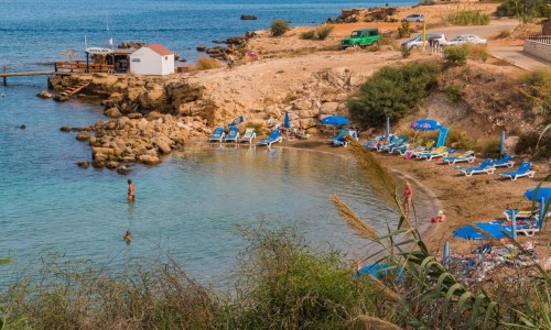
Kapparis Beach

Kapparis Beach is located in the Protaras area of the Famagusta district. It is a very quiet and isolated beach and it is the beac...

Armyropigado beach (Scouts beach)

The Armyropigado beach or Scouts beach is located in the Kappari area of Protaras and has a length of 100 metres and a width of 30 metres. ...

Skoutarospyloi Beach

Skoutarospylioi beach is located at the outreach of Kappari Avenue in Protaras, after the Protaras – Cavo Greco roundabout and in particul...

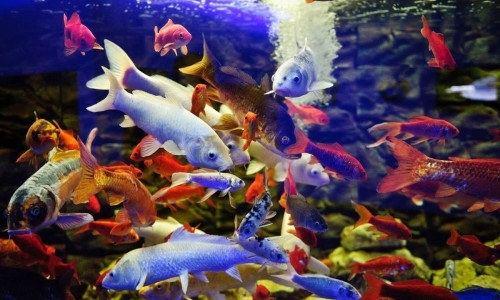
Protaras Ocean Aquarium

The Protaras Ocean Aquarium is located in the area of Protaras in Cyprus. The aquarium is the home to over 1000 species such as piranhas,...

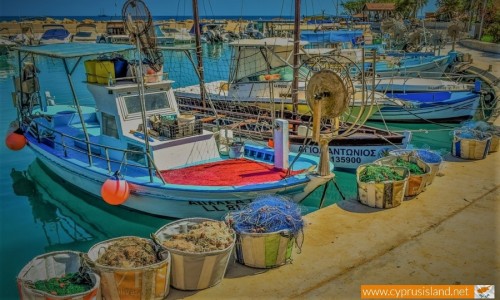
Agia Triada Fishing Shelter

In the enchanting landscape of Cyprus, the Agia Triada Fishing Shelter stands out as a peaceful retreat that beautifully encapsulates ...

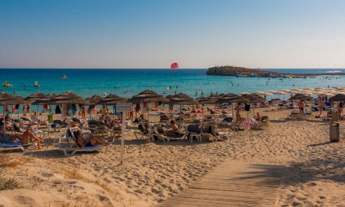
Ayia Triada Beach, Paralimni

The Ayia Triada Beach (Αγία Τριάδα) or Trinity Beach as it is called in English, is situated in the Paralimni area in the Ammochos...

Pages