Deryneia
Deryneia is situated at a distance of 5 kilometres from Ammochostos built an altitude of 60 metres. Deryneia village is one of the eight municipalities in the district.
To the north is borders with the Ammochostos Municipality, to the northwest with Acheritou, to the south with Frenaros , to the southwest with Sotira and to the south with Paralimni. The eastern part of the administrative extent is seaside.
The definite origin of the name of Deryneia is unknown but some claims are the following:
- Settlers from the ancient city of Geryneia (a town near Pylos) inhabited the area. The name Deryneia was slowly changed from the word of Geryneia.
- The name came from the name of an English or Frank general who once was in control of the Vounos area of Deryneia.
- There is an ancient settlement with the name of Therimeio or Therineio in the area. With time it became Drynio, Dryneia and Deryneia. This version is considered to be the most prevailing.
- According to sources , the settlement of Deryneia has existed for 700 years. However archaeological remains prove that the settlement possibly existed earlier on.
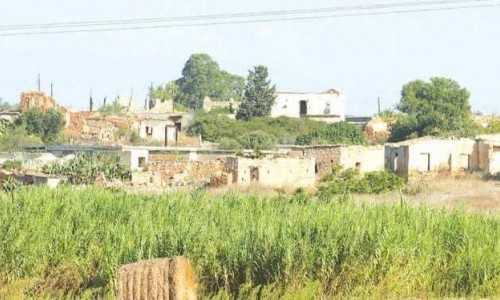
In the modern history of Deryneia , the Turkish army took over 70% of the area , during the Turkish occupation. The population of the municipality is about 7500. This number includes the 1000 refugees that live in the refugee community of Deryneia. The community of Deryneia was upgraded into a municipality in 1994.
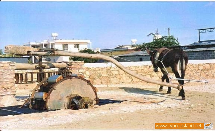
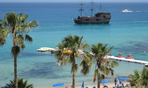
The residents of Deryneia are mostly farmers, or work in the tourist industry of Ayia Napa and Protara, in trade, processing and crafts. The farmers mostly deal with the cultivation of strawberries and vegetables. Deryneia has a tradition, as it holds the first place in the production of strawberries, covering the 60% of the country’s production. The Strawberry Festival takes place in the village of Deryneia in the middle of May, gaining the interest of thousands of visitors, both local and foreigners.
Deryneia Barricade
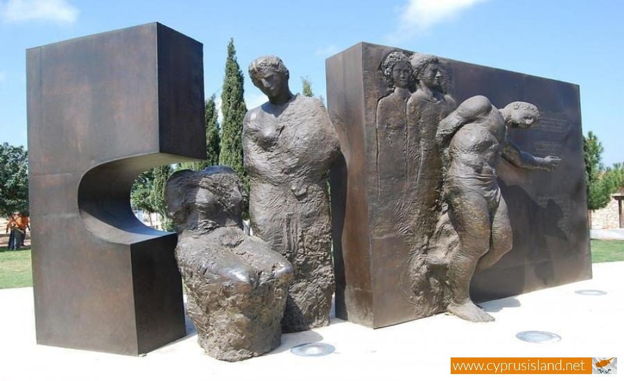
The Deryneia Barricade is located near the town, and there is an observatory which visitors can see the occupied part of Ammochostos using binoculars. Over the last years the Deryneia Barricade is an area which many anti-occupational events have taken place. During two of these events two cousins Tassos Isaak and Solomos Solomou have died at.
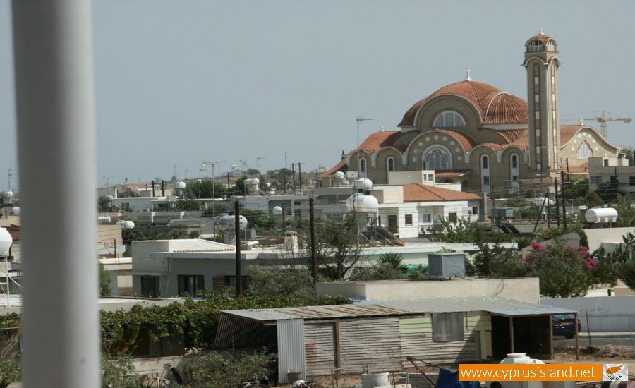
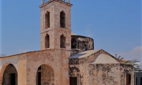
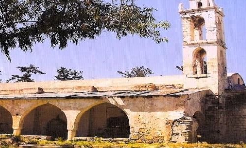
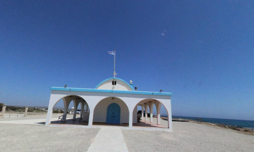
Chapels – Temples
The main temple in Deryneia is dedicated to all the Saints. It is a modern building and is large enough to cover the whole village needs. There is also the temple of Apostle Varnavas which is located at the settlement. In the municipality there are many ancient temples such as the Virgin Mary, Saint George, Saint Modestos, Saint Constantine as well as the chapel of Agia Marina which is located in the dead zone. This chapel is only visited once a year by the residents and they must be accompanied by the United Nations. Finally there is also a chapel of Agios Antonios which was used as a women’s convent during the last century.