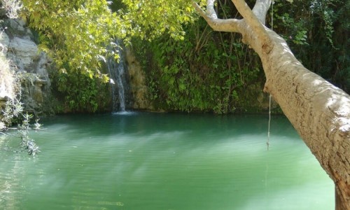


The Gialias River is the second largest river in Cyprus. It has a length of 88 kilometres and flows from the Troodos Mountain Range and the Machera Mountains, passing through the Valley of Mesaoria and pouring into the Ammochostos Bay.
In the case that the Gialias River overflows, the water pours into the Pano Lythrodonta Dam as well as another two dams. If those two dams fill up then it continues its course to the villages of Potamia , Nisou and Pera Chorio. The Pano Lythrodonta Dam was built in 1952, it has a capacity of 32.000 square metres and has a height of 10 metres.
There are many traditions that are related with the Gialias River. It is though that the river is divided into two in the village of Nisou, in order to join at another point. The location in which the river was divided, created an island (nisi in Greek) and that is how the village Nisou received its name. Another tradition states that the Pedieos River connected with the Gialia River in the area of the Assia Village. The countess in the area then decided to split them and bring with river bank closer to the village which is the location it is in today.
Near Gialias River
Other places within a short drive, closest first.