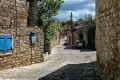
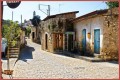
Lofou Village
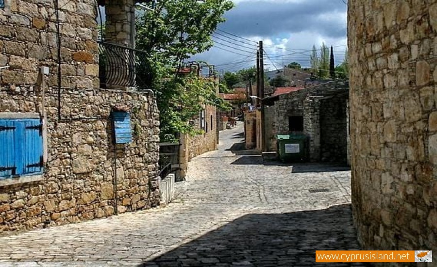
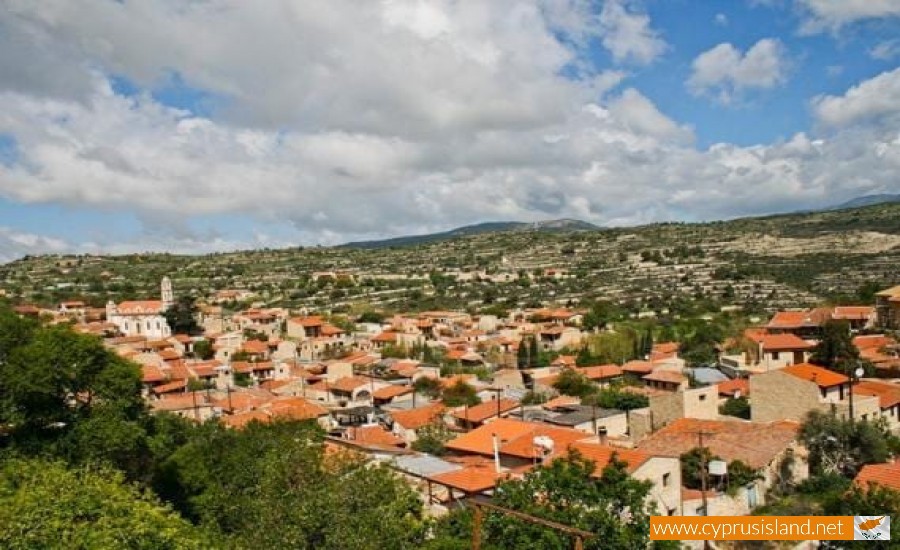
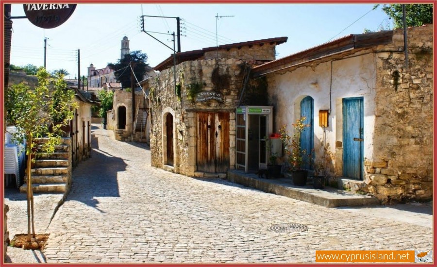
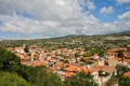
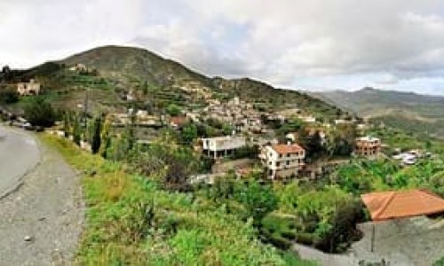
Lofou village is located 26 kilometres northwest of Limassol in the geographical district of the Wine villages of Limassol and it is built amphitheatrically on the hills at an altitude of about 800 metres.
Moreover, it is secluded because the road connection does not go further than the village. Lofou borders with Vouni to the west, with Koilani to the northwest, with Sylikou to the northeast, with Agio Georgio and Monagri to the east, with Alassa to the south and with Agio Therapon to the southeast.
The village owes its name to the fact that it is built on a hill. Its original name was Lofos and was used until the beginning of the 20th century as it seems in the records of the primary school.
The change from Lofos to Lofou occurred due to the fact that the name was used with the word komi which is a feminine word and therefore the word which follows should also be of the same gender. Therefore the word became Lofou which is what it is known as today in the village.
The archaeological findings show that the location of Lofou was inhabited from before the copper period. The settlement however was possibly established a little before the Frank period, during the Arab raids, when the residents of the coast were forced to move to the mountain areas for safety.
The oldest written article in which Lofou is mentioned in, is dated to the Frankish period. According to Leontios Machaira, Lofou was given to Janot de Luzonian the Lord of Beirut by his brother Jacob A in 1392 , along with other villages.
According to the inventories which have taken place in Cyprus, the village population came to its highest point in 1946. Then the population began to decrease with a fast face. The residents of the village moved to the area of Ypsonas in order to cultivate or harvest their fields.
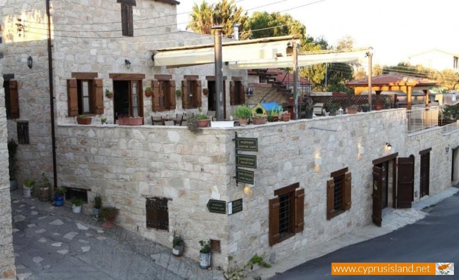
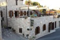
The village has many attractions to visit such as the Lofou Museum - Olive Press, the Old School of Lofou and the traditional Water Fountain of Elitzi, dated from 1842. The water fountain was the point from which the residents of the village got their water supply from during the earlier years and was an important part of their everyday life.
Lofou village has many churches and chapels. The main church is dedicated to the Virgin Mary and is called Panagia Chrysolofitissa. There are another three chapels in the village, of Prophet Elias , Agia Marina and Agios Georgios. A picnic site and playground area have been constructed outside the Prophet Elias Chapel.
The Lofou nature trail must also be mentioned, which is about 1 kilometre and is maintained by the community board. The nature trail begins from the location of Tzillaka and ends at the village water fountain. Visitors can admire the natural beauty of the village, the traditional stone structures of the vineyards, as well as see the Troodos Mountain Range from afar.